Bloemfontein night lights from space
Night Light of Bloemfontein (Orange Free State) from space (South Africa) Src. Average luminocity for 10x10km area is 94.3631% and for 50x50km: 11.188%.

Analysis of Bloemfontein night lights 2016
Square area 10x10 km:
 44.05%
90-99
36.51%80-89
6.75%70-79
7.54%60-69
3.57%50-59
0.99%40-49
0.6%30-39
0%20-29
0%10-19
0%0-9
0%Square area 50x50 km:
2.91%90-99
2.16%80-89
0.62%70-79
1.79%60-69
0.96%50-59
0.92%40-49
2.01%30-39
1.6%20-29
2.52%10-19
4.79%0-9
79.7%Clear (daylight) street map image can be seen on geolist.org.
Map coordinates:
28° 30' 18" South, 25° 30' 39.2" East
29° 7' 15.9" South, 26° 12' 50.4" East
29° 44' 0.5" South, 26° 55' 1.7" East
Some cities around Bloemfontein sort by population:
• Botshabelo
52.3 km =32.5 mi,  108°
108°
• Maseru, LS
125.1 km =77.7 mi,  100°
100°
• Mafeteng, LS
126.1 km =78.4 mi,  128°
128°
• Thaba Nchu
61.5 km =38.2 mi, 99°
• Theunissen
92.1 km =57.2 mi,  31°
31°
• Ladybrand
121 km =75.2 mi,  93°
93°
• Brandfort
52.6 km =32.7 mi, 27°
• Winburg
102.5 km =63.7 mi,  49°
49°
1018725 (p: 463,064)
Sources (retrieved 2019-11-25):
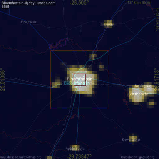
» NASA, Earths city lights 1995
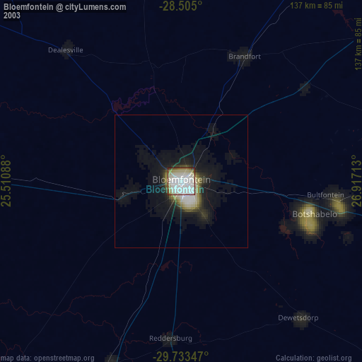
» NASA city lights 2003
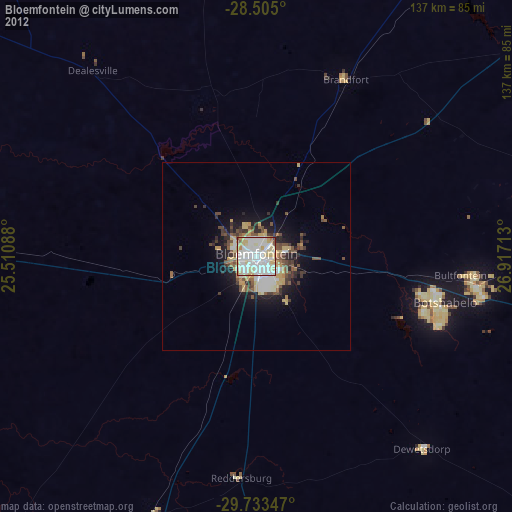
» Earth at Night: Flat Maps 2012, 2016