Clocolan night lights from space
Night Light of Clocolan (Orange Free State) from space (South Africa) Src. Average luminocity for 10x10km area is 7.3631% and for 50x50km: 0.3915%.
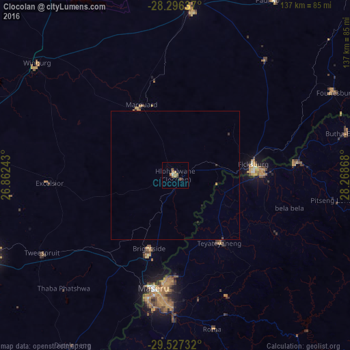
Analysis of Clocolan night lights 2016
Square area 10x10 km:
 0%
0%90-99
0.79%80-89
0%70-79
2.38%60-69
3.77%50-59
0.2%40-49
1.98%30-39
0.4%20-29
0.2%10-19
0.6%0-9
89.68%Square area 50x50 km:
0%90-99
0.03%80-89
0%70-79
0.12%60-69
0.14%50-59
0.01%40-49
0.09%30-39
0.11%20-29
0.04%10-19
0.03%0-9
99.43%Clear (daylight) street map image can be seen on geolist.org.
Map coordinates:
28° 17' 46.9" South, 26° 51' 44.7" East
28° 54' 49.2" South, 27° 33' 56" East
29° 31' 38.4" South, 28° 16' 7.2" East
Some cities around Clocolan sort by population:
• Maseru, LS
45.5 km =28.3 mi,  190°
190°
• Leribe, LS
46.9 km =29.1 mi,  84°
84°
• Senekal
66.3 km =41.2 mi,  4°
4°
• Maputsoe, LS
32.6 km =20.3 mi, 84°
• Ladybrand
32.9 km =20.4 mi,  198°
198°
• Butha-Buthe, LS
68.6 km =42.6 mi, 76°
• Marquard
30.7 km =19.1 mi,  334°
334°
• Teyateyaneng, LS
31.5 km =19.6 mi,  145°
145°
1013266 (p: 12,318)
Sources (retrieved 2019-11-25):
» Earth at Night: Flat Maps 2012, 2016