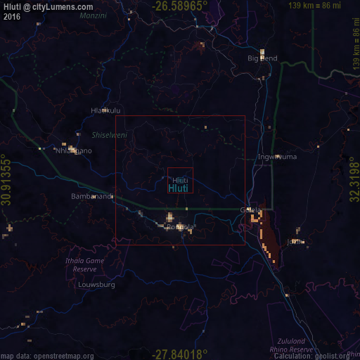
Hluti night lights from space
Night Light of Hluti (Shiselweni) from space (Eswatini) Src. Average luminocity for 10x10km area is 0.1402% and for 50x50km: 0.839%.
Analysis of Hluti night lights 2016
Square area 10x10 km:
 0%
0%90-99
0%80-89
0%70-79
0%60-69
0%50-59
0%40-49
0%30-39
0%20-29
0%10-19
0.38%0-9
99.62%Square area 50x50 km:
0%90-99
0.05%80-89
0.09%70-79
0.05%60-69
0.14%50-59
0.24%40-49
0.24%30-39
0.15%20-29
0.32%10-19
0.2%0-9
98.51%Clear (daylight) street map image can be seen on geolist.org.
Map coordinates:
26° 35' 22.7" South, 30° 54' 48.8" East
27° 13' 0" South, 31° 37' 0" East
27° 50' 24.6" South, 32° 19' 11.3" East
Some cities around Hluti sort by population:
• Vryheid, ZA
102 km =63.4 mi,  232°
232°
• Manzini
83.2 km =51.7 mi,  343°
343°
• Piet Retief, ZA
82.9 km =51.5 mi,  286°
286°
• Big Bend
54.4 km =33.8 mi,  35°
35°
• Malkerns
84.1 km =52.3 mi,  329°
329°
• Nhlangano
43 km =26.7 mi, 285°
• Siteki
91.1 km =56.6 mi,  21°
21°
• Lobamba
93.1 km =57.8 mi, 333°
935076 (p: 6,763)
Sources (retrieved 2019-11-25):
» Earth at Night: Flat Maps 2012, 2016