Manzini night lights from space
Night Light of Manzini from space (Eswatini) Src. Average luminocity for 10x10km area is 47.4943% and for 50x50km: 6.6897%.
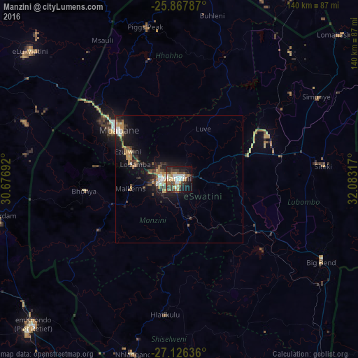

Analysis of Manzini night lights 2016
Square area 10x10 km:
 8.33%
8.33%90-99
7.95%80-89
8.33%70-79
3.79%60-69
6.44%50-59
6.25%40-49
9.28%30-39
10.8%20-29
11.17%10-19
22.54%0-9
5.11%Square area 50x50 km:
0.74%90-99
0.8%80-89
0.73%70-79
0.94%60-69
1.03%50-59
0.76%40-49
1.13%30-39
1.37%20-29
1.64%10-19
6.13%0-9
84.73%Clear (daylight) street map image can be seen on geolist.org.
Map coordinates:
25° 52' 4.3" South, 30° 40' 36.9" East
26° 29' 55.8" South, 31° 22' 48.1" East
27° 7' 34.9" South, 32° 4' 59.4" East
Some cities around Manzini sort by population:
• Mbabane
31.8 km =19.8 mi,  309°
309°
• Big Bend
65.4 km =40.6 mi,  122°
122°
• Malkerns
21 km =13 mi,  248°
248°
• Nhlangano
70.5 km =43.8 mi,  194°
194°
• Mhlume
69.8 km =43.4 mi,  42°
42°
• Siteki
56.7 km =35.2 mi,  84°
84°
• Piggs Peak
61.3 km =38.1 mi,  347°
347°
• Lobamba
18.3 km =11.4 mi,  281°
281°
934995 (p: 110,537)
Sources (retrieved 2019-11-25):
» NASA, Earths city lights 1995
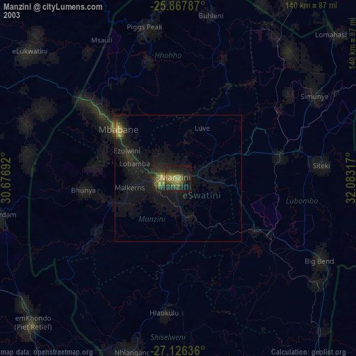
» NASA city lights 2003
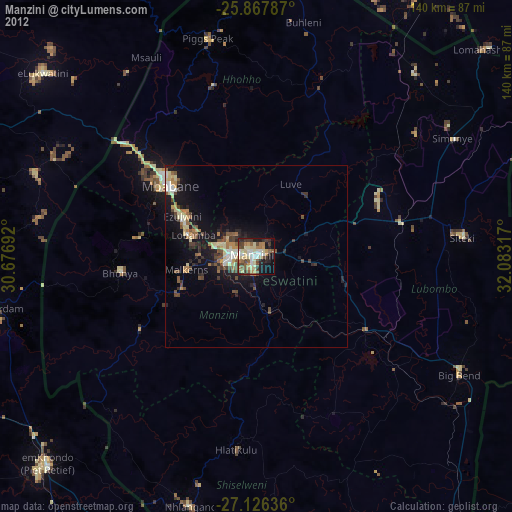
» Earth at Night: Flat Maps 2012, 2016