Port Shepstone night lights from space
Night Light of Port Shepstone (KwaZulu-Natal) from space (South Africa) Src. Average luminocity for 10x10km area is 26.729% and for 50x50km: 4.2485%.
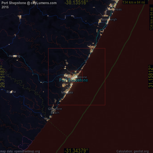
Analysis of Port Shepstone night lights 2016
Square area 10x10 km:
 1.75%
1.75%90-99
2.45%80-89
2.8%70-79
2.27%60-69
4.9%50-59
8.92%40-49
6.12%30-39
3.15%20-29
4.55%10-19
28.5%0-9
34.62%Square area 50x50 km:
0.12%90-99
0.18%80-89
0.41%70-79
0.38%60-69
0.61%50-59
1.24%40-49
1.35%30-39
0.66%20-29
0.86%10-19
4.39%0-9
89.79%Clear (daylight) street map image can be seen on geolist.org.
Map coordinates:
30° 8' 6.6" South, 29° 45' 6.7" East
30° 44' 28.9" South, 30° 27' 18" East
31° 20' 37.6" South, 31° 9' 29.2" East
Some cities around Port Shepstone sort by population:
• Durban
112.6 km =70 mi,  29°
29°
• Mpumalanga
104.7 km =65.1 mi,  9°
9°
• Margate
15.8 km =9.8 mi,  210°
210°
• Richmond
98.2 km =61 mi,  349°
349°
• Kokstad
100.9 km =62.7 mi,  282°
282°
• Scottburgh
58.1 km =36.1 mi, 29°
• eMkhomazi
67.9 km =42.2 mi, 28°
• Berea
111.6 km =69.3 mi, 27°
964406 (p: 52,793)
Sources (retrieved 2019-11-25):
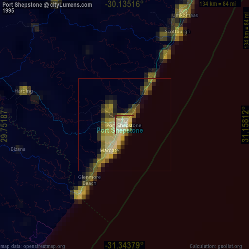
» NASA, Earths city lights 1995
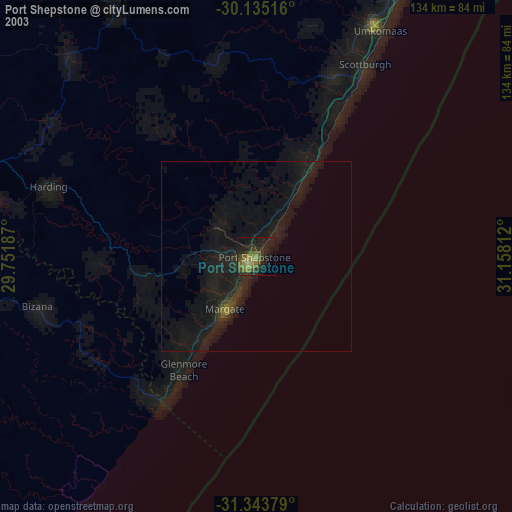
» NASA city lights 2003
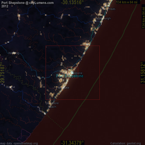
» Earth at Night: Flat Maps 2012, 2016