Kroonstad night lights from space
Night Light of Kroonstad (Orange Free State) from space (South Africa) Src. Average luminocity for 10x10km area is 46.0536% and for 50x50km: 2.823%.
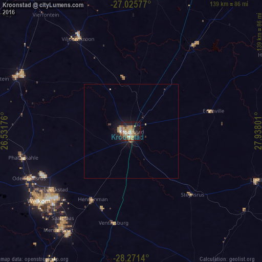
Analysis of Kroonstad night lights 2016
Square area 10x10 km:
 4.76%
4.76%90-99
6.94%80-89
6.75%70-79
14.88%60-69
8.33%50-59
2.78%40-49
7.14%30-39
4.17%20-29
7.54%10-19
27.38%0-9
9.33%Square area 50x50 km:
0.3%90-99
0.31%80-89
0.32%70-79
0.79%60-69
0.41%50-59
0.14%40-49
0.38%30-39
0.28%20-29
0.45%10-19
2.73%0-9
93.88%Clear (daylight) street map image can be seen on geolist.org.
Map coordinates:
27° 1' 32.8" South, 26° 31' 54.3" East
27° 39' 1.3" South, 27° 14' 5.6" East
28° 16' 17" South, 27° 56' 16.8" East
Some cities around Kroonstad sort by population:
• Welkom
61.1 km =38 mi,  233°
233°
• Virginia
62.1 km =38.6 mi,  215°
215°
• Kutloanong
51.9 km =32.2 mi,  246°
246°
• Viljoenskroon
56.7 km =35.2 mi,  330°
330°
• Allanridge
59.3 km =36.8 mi,  258°
258°
• Hennenman
41.8 km =26 mi,  209°
209°
• Koppies
56.4 km =35 mi,  36°
36°
• Ventersburg
49.3 km =30.6 mi,  191°
191°
986846 (p: 103,992)
Sources (retrieved 2019-11-25):
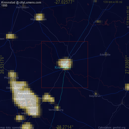
» NASA, Earths city lights 1995
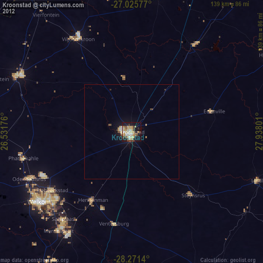
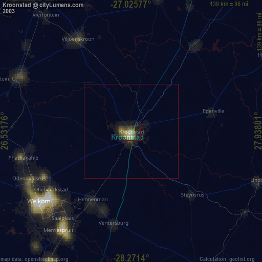
» NASA city lights 2003
» Earth at Night: Flat Maps 2012, 2016