Virginia night lights from space
Night Light of Virginia (Orange Free State) from space (South Africa) Src. Average luminocity for 10x10km area is 39.2008% and for 50x50km: 8.8452%.
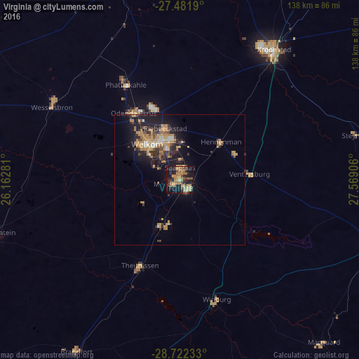
Analysis of Virginia night lights 2016
Square area 10x10 km:
 0.76%
0.76%90-99
1.7%80-89
5.68%70-79
13.26%60-69
10.98%50-59
4.92%40-49
6.63%30-39
4.55%20-29
10.04%10-19
35.23%0-9
6.25%Square area 50x50 km:
0.45%90-99
0.67%80-89
0.69%70-79
2.91%60-69
1.78%50-59
0.73%40-49
1.42%30-39
1.4%20-29
2.28%10-19
7.76%0-9
79.9%Clear (daylight) street map image can be seen on geolist.org.
Map coordinates:
27° 28' 54.8" South, 26° 9' 46.1" East
28° 6' 14.1" South, 26° 51' 57.3" East
28° 43' 20.4" South, 27° 34' 8.6" East
Some cities around Virginia sort by population:
• Welkom
19 km =11.8 mi,  317°
317°
• Kutloanong
32.2 km =20 mi,  339°
339°
• Wesselsbron
56.4 km =35 mi,  299°
299°
• Theunissen
37.8 km =23.5 mi,  205°
205°
• Allanridge
44.6 km =27.7 mi,  330°
330°
• Hennenman
21 km =13 mi,  47°
47°
• Winburg
48.1 km =29.9 mi,  163°
163°
• Ventersburg
26.8 km =16.7 mi,  85°
85°
943882 (p: 122,502)
Sources (retrieved 2019-11-25):
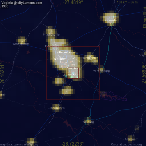
» NASA, Earths city lights 1995
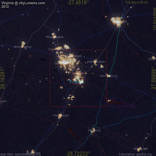
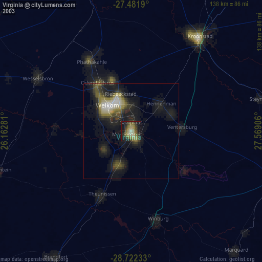
» NASA city lights 2003
» Earth at Night: Flat Maps 2012, 2016