Hennenman night lights from space
Night Light of Hennenman (Orange Free State) from space (South Africa) Src. Average luminocity for 10x10km area is 6.3636% and for 50x50km: 5.8259%.
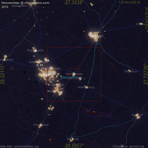
Analysis of Hennenman night lights 2016
Square area 10x10 km:
 0%
0%90-99
0%80-89
0%70-79
2.08%60-69
3.03%50-59
0.57%40-49
1.89%30-39
0.76%20-29
0.76%10-19
0%0-9
90.91%Square area 50x50 km:
0.3%90-99
0.47%80-89
0.45%70-79
1.74%60-69
1.25%50-59
0.55%40-49
0.92%30-39
1.02%20-29
1.28%10-19
5.07%0-9
86.94%Clear (daylight) street map image can be seen on geolist.org.
Map coordinates:
27° 21' 13.7" South, 26° 19' 16" East
27° 58' 35.5" South, 27° 1' 27.2" East
28° 35' 44.5" South, 27° 43' 38.5" East
Some cities around Hennenman sort by population:
• Welkom
28.4 km =17.6 mi,  269°
269°
• Virginia
21 km =13 mi,  227°
227°
• Kroonstad
41.8 km =26 mi,  29°
29°
• Kutloanong
31.3 km =19.4 mi,  300°
300°
• Theunissen
57.8 km =35.9 mi,  213°
213°
• Allanridge
44.8 km =27.8 mi, 303°
• Winburg
60.2 km =37.4 mi,  181°
181°
• Ventersburg
16.5 km =10.3 mi,  137°
137°
996918 (p: 22,847)
Sources (retrieved 2019-11-25):
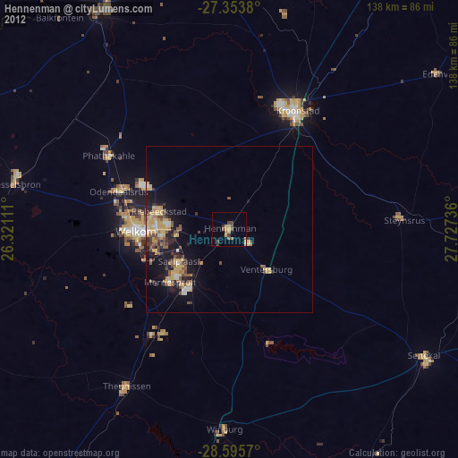
» Earth at Night: Flat Maps 2012, 2016