Calvinia night lights from space
Night Light of Calvinia (Northern Cape) from space (South Africa) Src. Average luminocity for 10x10km area is 6.7028% and for 50x50km: 0.2857%.
Analysis of Calvinia night lights 2016
Square area 10x10 km:
 0%
0%90-99
0.7%80-89
2.8%70-79
0%60-69
2.8%50-59
0.7%40-49
0%30-39
0.52%20-29
0.87%10-19
0%0-9
91.61%Square area 50x50 km:
0%90-99
0.03%80-89
0.12%70-79
0%60-69
0.12%50-59
0.03%40-49
0%30-39
0.02%20-29
0.04%10-19
0%0-9
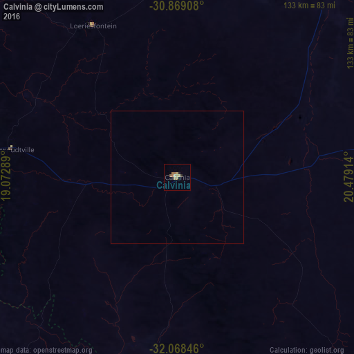
99.65%Clear (daylight) street map image can be seen on geolist.org.
Map coordinates:
30° 52' 8.7" South, 19° 4' 22.4" East
31° 28' 14.5" South, 19° 46' 33.6" East
32° 4' 6.5" South, 20° 28' 44.9" East
Some cities around Calvinia sort by population:
• Worcester
243.9 km =151.6 mi,  187°
187°
• Saldanha
243 km =151 mi,  225°
225°
• Wellington
251.6 km =156.3 mi,  196°
196°
• Ceres
215.5 km =133.9 mi, 191°
• Vredenburg
231.8 km =144 mi, 226°
• Malmesbury
242.2 km =150.5 mi, 203°
• Vredendal
122.8 km =76.3 mi,  259°
259°
• Carnarvon
231 km =143.5 mi,  76°
76°
3369174 (p: 8,146)
Sources (retrieved 2019-11-25):
» Earth at Night: Flat Maps 2012, 2016