Middelburg night lights from space
Night Light of Middelburg (Mpumalanga) from space (South Africa) Src. Average luminocity for 10x10km area is 70.625% and for 50x50km: 12.0189%.
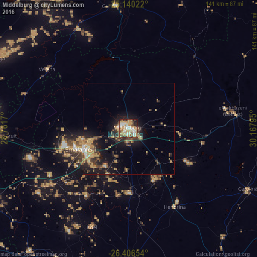
Analysis of Middelburg night lights 2016
Square area 10x10 km:
 12.31%
90-99
14.58%80-89
13.45%70-79
19.89%60-69
12.69%50-59
4.36%40-49
7.01%30-39
7.95%20-29
4.92%10-19
2.84%0-9
0%Square area 50x50 km:
0.88%90-99
1.06%80-89
2.04%70-79
2.69%60-69
1.84%50-59
1.03%40-49
2.12%30-39
2.55%20-29
3.02%10-19
8.7%0-9
74.07%Clear (daylight) street map image can be seen on geolist.org.
Map coordinates:
25° 8' 24.8" South, 28° 45' 42.1" East
25° 46' 30.3" South, 29° 27' 53.4" East
26° 24' 23.5" South, 30° 10' 4.6" East
Some cities around Middelburg sort by population:
• Witbank
25.5 km =15.8 mi,  245°
245°
• Bethal
75.9 km =47.2 mi,  179°
179°
• Ekangala
72.2 km =44.9 mi,  276°
276°
• Bronkhorstspruit
72.4 km =45 mi,  266°
266°
• Hendrina
49.5 km =30.8 mi,  149°
149°
• Kriel
60.4 km =37.5 mi,  203°
203°
• Breyten
78.4 km =48.7 mi,  138°
138°
• Belfast
57.9 km =36 mi,  80°
80°
976361 (p: 154,706)
Sources (retrieved 2019-11-25):
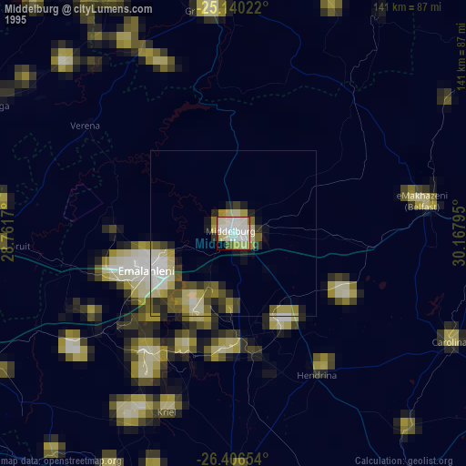
» NASA, Earths city lights 1995
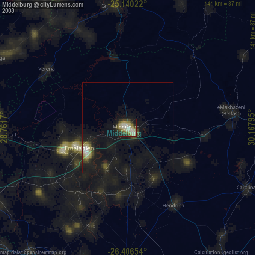
» NASA city lights 2003
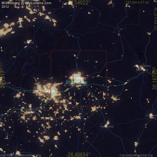
» Earth at Night: Flat Maps 2012, 2016