Ḩajjah night lights from space
Night Light of Ḩajjah from space (Yemen) Src. Average luminocity for 10x10km area is 0.8333% and for 50x50km: 0.5602%.
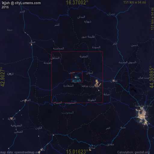
Analysis of Ḩajjah night lights 2016
Square area 10x10 km:
 0%
0%90-99
0%80-89
0%70-79
0%60-69
0.87%50-59
0%40-49
0%30-39
0%20-29
0.87%10-19
0%0-9
98.27%Square area 50x50 km:
0%90-99
0%80-89
0%70-79
0%60-69
0.52%50-59
0.22%40-49
0%30-39
0%20-29
0.03%10-19
0%0-9
99.23%Clear (daylight) street map image can be seen on geolist.org.
Map coordinates:
16° 22' 12.1" North, 42° 54' 9.7" East
15° 41' 39.3" North, 43° 36' 21" East
15° 0' 58.4" North, 44° 18' 32.2" East
Some cities around Ḩajjah sort by population:
• Sanaa
74.6 km =46.4 mi,  120°
120°
• ‘Amrān
36.4 km =22.6 mi,  96°
96°
• Sayyān
96.5 km =60 mi,  127°
127°
• Bājil
78.5 km =48.8 mi,  205°
205°
• Saḩar
86.2 km =53.6 mi, 119°
• Al Maḩwīt
25.8 km =16 mi,  194°
194°
• Jadder Cemetery
66.3 km =41.2 mi,  112°
112°
• Al Jabīn
110.1 km =68.4 mi,  180°
180°
75337 (p: 43,549)
Sources (retrieved 2019-11-25):
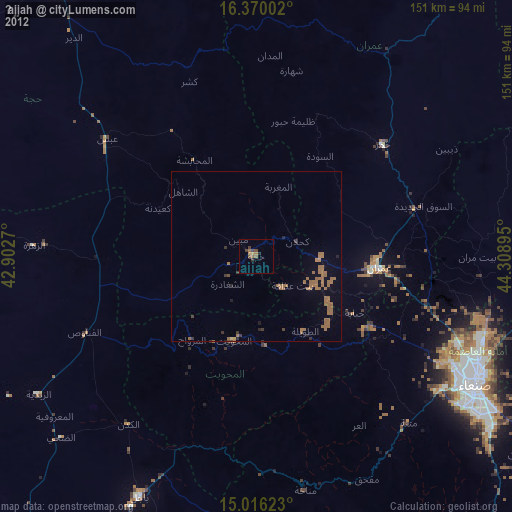
» Earth at Night: Flat Maps 2012, 2016