Jawf al Maqbābah night lights from space
Night Light of Jawf al Maqbābah (Abyan) from space (Yemen) Src. Average luminocity for 10x10km area is 1.2273% and for 50x50km: 0.1311%.
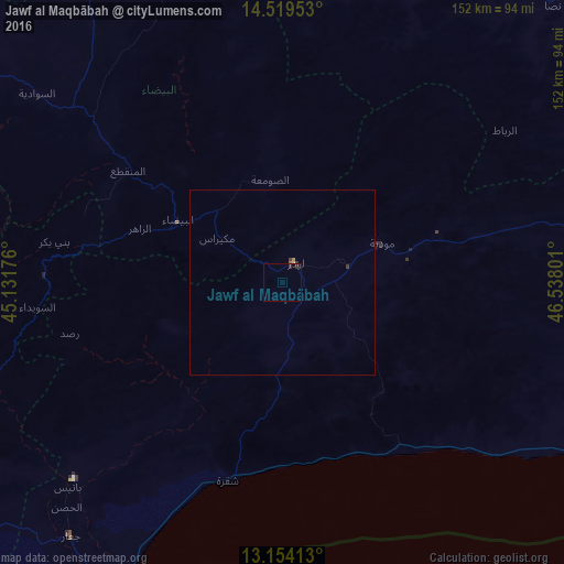
Analysis of Jawf al Maqbābah night lights 2016
Square area 10x10 km:
 0%
0%90-99
0%80-89
0.21%70-79
0.21%60-69
0.41%50-59
0%40-49
0%30-39
0.21%20-29
1.86%10-19
0%0-9
97.11%Square area 50x50 km:
0%90-99
0%80-89
0.02%70-79
0.01%60-69
0.07%50-59
0%40-49
0%30-39
0.08%20-29
0.08%10-19
0%0-9
99.74%Clear (daylight) street map image can be seen on geolist.org.
Map coordinates:
14° 31' 10.3" North, 45° 7' 54.3" East
13° 50' 16.2" North, 45° 50' 5.6" East
13° 9' 14.9" North, 46° 32' 16.8" East
Some cities around Jawf al Maqbābah sort by population:
• Aden
146 km =90.7 mi,  216°
216°
• Dhamār
172.9 km =107.4 mi,  296°
296°
• Al Bayda
32.7 km =20.3 mi, 300°
• Ataq
132.7 km =82.5 mi,  54°
54°
• Yarīm
165.3 km =102.7 mi,  288°
288°
• Laḩij
134.8 km =83.8 mi,  229°
229°
• Zinjibār
92.9 km =57.7 mi,  211°
211°
• Dhalie
120.2 km =74.7 mi,  262°
262°
74219 (p: 14,175)
Sources (retrieved 2019-11-25):
» Earth at Night: Flat Maps 2012, 2016