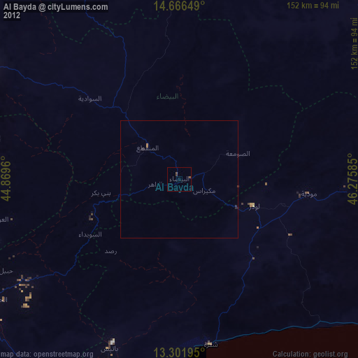
Al Bayda night lights from space
Night Light of Al Bayda from space (Yemen) Src. Average luminocity for 10x10km area is 0.4935% and for 50x50km: 0.019%.
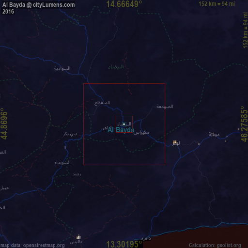
Analysis of Al Bayda night lights 2016
Square area 10x10 km:
 0%
0%90-99
0%80-89
0%70-79
0%60-69
0%50-59
0.87%40-49
0%30-39
0%20-29
0%10-19
0%0-9
99.13%Square area 50x50 km:
0%90-99
0%80-89
0%70-79
0%60-69
0%50-59
0.03%40-49
0%30-39
0%20-29
0%10-19
0%0-9
99.97%Clear (daylight) street map image can be seen on geolist.org.
Map coordinates:
14° 39' 59.4" North, 44° 52' 10.6" East
13° 59' 6.8" North, 45° 34' 21.8" East
13° 18' 7" North, 46° 16' 33.1" East
Some cities around Al Bayda sort by population:
• Aden
146.1 km =90.8 mi,  203°
203°
• Dhamār
140.3 km =87.2 mi,  296°
296°
• Ataq
148.9 km =92.5 mi,  65°
65°
• Yarīm
133.4 km =82.9 mi,  285°
285°
• Laḩij
127.4 km =79.2 mi,  215°
215°
• Zinjibār
97.5 km =60.6 mi,  192°
192°
• Dhalie
96.4 km =59.9 mi,  250°
250°
• Jawf al Maqbābah
32.7 km =20.3 mi,  120°
120°
79836 (p: 37,821)
Sources (retrieved 2019-11-25):
» Earth at Night: Flat Maps 2012, 2016