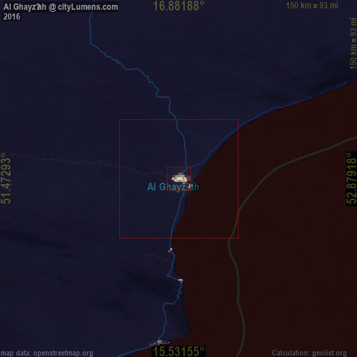
Al Ghayz̧ah night lights from space
Night Light of Al Ghayz̧ah (Al Mahrah) from space (Yemen) Src. Average luminocity for 10x10km area is 13.624% and for 50x50km: 0.6083%.
Analysis of Al Ghayz̧ah night lights 2016
Square area 10x10 km:
 0.62%
0.62%90-99
1.03%80-89
0.21%70-79
1.45%60-69
1.86%50-59
9.5%40-49
1.65%30-39
2.69%20-29
0%10-19
0.21%0-9
80.79%Square area 50x50 km:
0.02%90-99
0.04%80-89
0.01%70-79
0.06%60-69
0.09%50-59
0.4%40-49
0.07%30-39
0.14%20-29
0%10-19
0.01%0-9
99.17%Clear (daylight) street map image can be seen on geolist.org.
Map coordinates:
16° 52' 54.8" North, 51° 28' 22.5" East
16° 12' 28.3" North, 52° 10' 33.8" East
15° 31' 53.6" North, 52° 52' 45" East
Some cities around Al Ghayz̧ah sort by population:
• Mukalla
375.9 km =233.6 mi,  240°
240°
• Şalālah, OM
223 km =138.6 mi,  66°
66°
• Qandala, SO
582.3 km =361.8 mi,  205°
205°
• Bereeda, SO
497.1 km =308.9 mi,  194°
194°
• Hadibu
442.7 km =275.1 mi,  153°
153°
• Bargaal, SO
559.9 km =347.9 mi, 192°
• Caluula, SO
495.8 km =308.1 mi,  197°
197°
• Haymā’, OM
601.4 km =373.7 mi,  46°
46°
79700 (p: 10,948)
Sources (retrieved 2019-11-25):
» Earth at Night: Flat Maps 2012, 2016