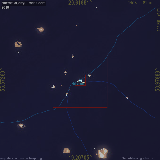
Haymā’ night lights from space
Night Light of Haymā’ (Al Wusţá) from space (Oman) Src. Average luminocity for 10x10km area is 10.0887% and for 50x50km: 1.0799%.
Analysis of Haymā’ night lights 2016
Square area 10x10 km:
 1.3%
1.3%90-99
0.43%80-89
2.38%70-79
2.81%60-69
1.73%50-59
0.87%40-49
0.87%30-39
0.87%20-29
0%10-19
0%0-9
88.74%Square area 50x50 km:
0.16%90-99
0.12%80-89
0.2%70-79
0.14%60-69
0.2%50-59
0.26%40-49
0.07%30-39
0.03%20-29
0.13%10-19
0%0-9
98.69%Clear (daylight) street map image can be seen on geolist.org.
Map coordinates:
20° 37' 7.7" North, 55° 34' 21.5" East
19° 57' 33.5" North, 56° 16' 32.7" East
19° 17' 49.4" North, 56° 58' 44" East
Some cities around Haymā’ sort by population:
• ‘Ibrī
364 km =226.2 mi,  3°
3°
• Nizwá
355.4 km =220.8 mi,  21°
21°
• Bahlā’
352.2 km =218.8 mi, 17°
• Izkī
364.9 km =226.7 mi,  25°
25°
• Ibrā’
383.3 km =238.2 mi,  37°
37°
• Badīyah
381 km =236.7 mi, 43°
• Adam
298.7 km =185.6 mi, 25°
• Al Qābil
383.6 km =238.4 mi, 40°
287939 (p: 1,294)
Sources (retrieved 2019-11-25):
» Earth at Night: Flat Maps 2012, 2016