Hadibu night lights from space
Night Light of Hadibu (Soqatra) from space (Yemen) Src. Average luminocity for 10x10km area is 1.4675% and for 50x50km: 0.0718%.
Analysis of Hadibu night lights 2016
Square area 10x10 km:
 0%
0%90-99
0%80-89
0.87%70-79
0%60-69
0%50-59
0%40-49
0.87%30-39
0%20-29
0.87%10-19
0%0-9
97.4%Square area 50x50 km:
0%90-99
0%80-89
0.03%70-79
0%60-69
0%50-59
0%40-49
0.06%30-39
0.01%20-29
0.03%10-19
0%0-9
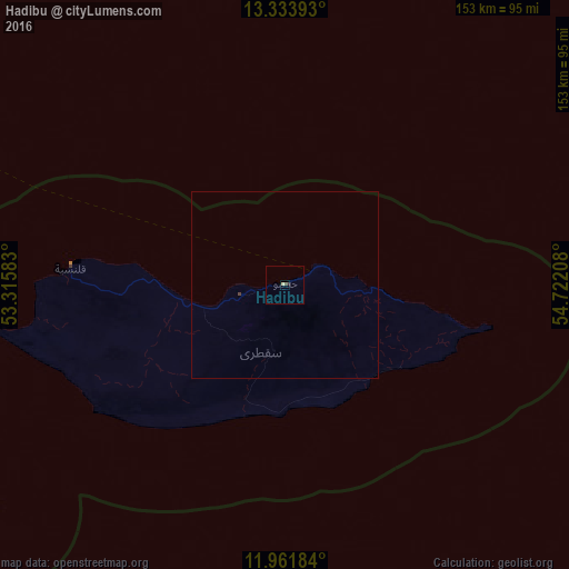
99.86%Clear (daylight) street map image can be seen on geolist.org.
Map coordinates:
13° 20' 2.1" North, 53° 18' 57" East
12° 38' 55.7" North, 54° 1' 8.2" East
11° 57' 42.6" North, 54° 43' 19.5" East
Some cities around Hadibu sort by population:
• Şalālah, OM
485.5 km =301.7 mi,  0°
0°
• Qandala, SO
469.4 km =291.7 mi,  253°
253°
• Bandarbeyla, SO
495.4 km =307.8 mi,  224°
224°
• Bereeda, SO
333.2 km =207 mi, 254°
• Al Ghayz̧ah
442.7 km =275.1 mi,  333°
333°
• Bargaal, SO
354 km =220 mi,  244°
244°
• Caluula, SO
362.4 km =225.2 mi,  257°
257°
• Iskushuban, SO
489.5 km =304.2 mi, 237°
75427 (p: 8,545)
Sources (retrieved 2019-11-25):
» Earth at Night: Flat Maps 2012, 2016