Caluula night lights from space
Night Light of Caluula (Bari) from space (Somalia) Src. Average luminocity for 10x10km area is 0% and for 50x50km: 0%.
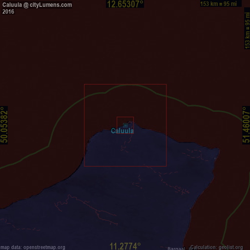
Analysis of Caluula night lights 2016
Square area 10x10 km:
 0%
0%90-99
0%80-89
0%70-79
0%60-69
0%50-59
0%40-49
0%30-39
0%20-29
0%10-19
0%0-9
100%Square area 50x50 km:
0%90-99
0%80-89
0%70-79
0%60-69
0%50-59
0%40-49
0%30-39
0%20-29
0%10-19
0%0-9
100%Clear (daylight) street map image can be seen on geolist.org.
Map coordinates:
12° 39' 11.1" North, 50° 3' 13.8" East
11° 57' 58" North, 50° 45' 25" East
11° 16' 38.6" North, 51° 27' 36.3" East
Some cities around Caluula sort by population:
• Mukalla, YE
336.6 km =209.2 mi,  328°
328°
• Bosaso
187.6 km =116.6 mi,  246°
246°
• Qandala
110.8 km =68.8 mi,  240°
240°
• Bandarbeyla
274.9 km =170.8 mi,  178°
178°
• Bereeda
34.4 km =21.4 mi,  108°
108°
• Las Khorey
293 km =182.1 mi, 252°
• Bargaal
83.2 km =51.7 mi,  155°
155°
• Iskushuban
195.7 km =121.6 mi,  197°
197°
63081 (p: 6,100)
Sources (retrieved 2019-11-25):
» Earth at Night: Flat Maps 2012, 2016