Bereeda night lights from space
Night Light of Bereeda (Bari) from space (Somalia) Src. Average luminocity for 10x10km area is 0% and for 50x50km: 0.004%.
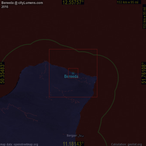
Analysis of Bereeda night lights 2016
Square area 10x10 km:
 0%
0%90-99
0%80-89
0%70-79
0%60-69
0%50-59
0%40-49
0%30-39
0%20-29
0%10-19
0%0-9
100%Square area 50x50 km:
0%90-99
0%80-89
0%70-79
0%60-69
0%50-59
0%40-49
0%30-39
0%20-29
0%10-19
0%0-9
100%Clear (daylight) street map image can be seen on geolist.org.
Map coordinates:
12° 33' 27.3" North, 50° 21' 17.4" East
11° 52' 13.3" North, 51° 3' 28.6" East
11° 10' 53.1" North, 51° 45' 39.9" East
Some cities around Bereeda sort by population:
• Bosaso
214.5 km =133.3 mi,  252°
252°
• Qandala
136.4 km =84.8 mi, 251°
• Bandarbeyla
265.6 km =165 mi,  185°
185°
• Hadibu, YE
333.2 km =207 mi,  74°
74°
• Las Khorey
321.6 km =199.8 mi,  255°
255°
• Bargaal
65 km =40.4 mi,  178°
178°
• Caluula
34.4 km =21.4 mi,  288°
288°
• Iskushuban
198.2 km =123.2 mi,  207°
207°
64412 (p: 11,262)
Sources (retrieved 2019-11-25):
» Earth at Night: Flat Maps 2012, 2016