Qandala night lights from space
Night Light of Qandala (Bari) from space (Somalia) Src. Average luminocity for 10x10km area is 0% and for 50x50km: 0.0607%.
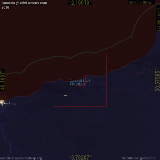
Analysis of Qandala night lights 2016
Square area 10x10 km:
 0%
0%90-99
0%80-89
0%70-79
0%60-69
0%50-59
0%40-49
0%30-39
0%20-29
0%10-19
0%0-9
100%Square area 50x50 km:
0%90-99
0%80-89
0%70-79
0%60-69
0.03%50-59
0.07%40-49
0%30-39
0%20-29
0%10-19
0%0-9
99.9%Clear (daylight) street map image can be seen on geolist.org.
Map coordinates:
12° 9' 36.7" North, 49° 10' 10.9" East
11° 28' 19.1" North, 49° 52' 22.2" East
10° 46' 55.5" North, 50° 34' 33.4" East
Some cities around Qandala sort by population:
• Bosaso
78.2 km =48.6 mi,  254°
254°
• Ceerigaabo
289.4 km =179.8 mi, 250°
• Bandarbeyla
242.7 km =150.8 mi,  154°
154°
• Bereeda
136.4 km =84.8 mi,  71°
71°
• Las Khorey
186 km =115.6 mi,  259°
259°
• Bargaal
132.9 km =82.6 mi,  98°
98°
• Caluula
110.8 km =68.8 mi,  60°
60°
• Iskushuban
137.8 km =85.6 mi,  163°
163°
53157 (p: 15,923)
Sources (retrieved 2019-11-25):
» Earth at Night: Flat Maps 2012, 2016