Sola night lights from space
Night Light of Sola (Torba) from space (Vanuatu) Src. Average luminocity for 10x10km area is 0% and for 50x50km: 0%.
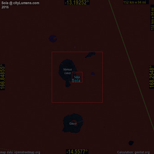
Analysis of Sola night lights 2016
Square area 10x10 km:
 0%
0%90-99
0%80-89
0%70-79
0%60-69
0%50-59
0%40-49
0%30-39
0%20-29
0%10-19
0%0-9
100%Square area 50x50 km:
0%90-99
0%80-89
0%70-79
0%60-69
0%50-59
0%40-49
0%30-39
0%20-29
0%10-19
0%0-9
100%Clear (daylight) street map image can be seen on geolist.org.
Map coordinates:
13° 11' 33.1" South, 166° 50' 54.8" East
13° 52' 34" South, 167° 33' 6" East
14° 33' 27.7" South, 168° 15' 17.3" East
Some cities around Sola sort by population:
• Port-Vila
436.9 km =271.5 mi,  169°
169°
• Luganville
187.5 km =116.5 mi,  192°
192°
• Wé, NC
783.5 km =486.8 mi,  182°
182°
• Isangel
656.3 km =407.8 mi,  163°
163°
• Kirakira, SB
720.6 km =447.8 mi,  301°
301°
• Lakatoro
247.7 km =153.9 mi, 183°
• Lata, SB
398.8 km =247.8 mi,  331°
331°
• Saratamata
163.5 km =101.6 mi, 164°
2134814 (p: 1,171)
Sources (retrieved 2019-11-25):
» Earth at Night: Flat Maps 2012, 2016