Lata night lights from space
Night Light of Lata (Temotu) from space (Solomon Islands) Src. Average luminocity for 10x10km area is 0% and for 50x50km: 0%.
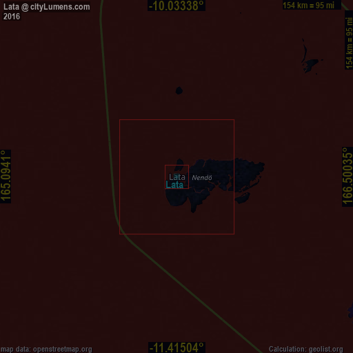
Analysis of Lata night lights 2016
Square area 10x10 km:
 0%
0%90-99
0%80-89
0%70-79
0%60-69
0%50-59
0%40-49
0%30-39
0%20-29
0%10-19
0%0-9
100%Square area 50x50 km:
0%90-99
0%80-89
0%70-79
0%60-69
0%50-59
0%40-49
0%30-39
0%20-29
0%10-19
0%0-9
100%Clear (daylight) street map image can be seen on geolist.org.
Map coordinates:
10° 2' 0.2" South, 165° 5' 38.8" East
10° 43' 30" South, 165° 47' 50" East
11° 24' 54.1" South, 166° 30' 1.3" East
Some cities around Lata sort by population:
• Honiara
656 km =407.6 mi,  282°
282°
• Luganville, VU
553.2 km =343.7 mi,  164°
164°
• Auki
599.7 km =372.6 mi,  291°
291°
• Tulagi
644.2 km =400.3 mi, 286°
• Sola, VU
398.8 km =247.8 mi,  151°
151°
• Kirakira
424.8 km =264 mi,  274°
274°
• Lakatoro, VU
622.7 km =386.9 mi, 163°
• Saratamata, VU
559.4 km =347.6 mi, 155°
2178750 (p: 553)
Sources (retrieved 2019-11-25):
» Earth at Night: Flat Maps 2012, 2016