Kirakira night lights from space
Night Light of Kirakira (Makira) from space (Solomon Islands) Src. Average luminocity for 10x10km area is 0% and for 50x50km: 0%.
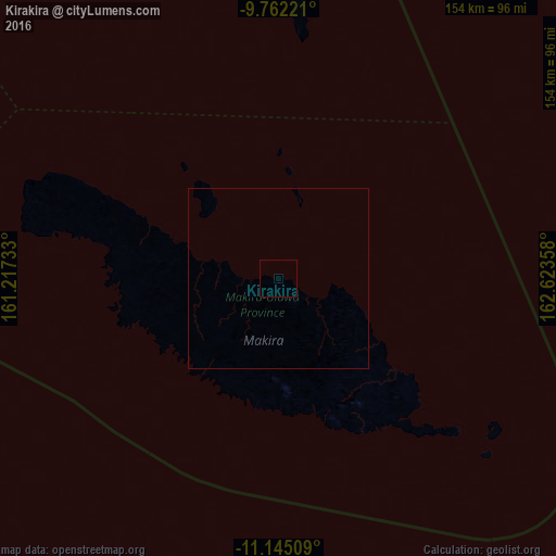
Analysis of Kirakira night lights 2016
Square area 10x10 km:
 0%
0%90-99
0%80-89
0%70-79
0%60-69
0%50-59
0%40-49
0%30-39
0%20-29
0%10-19
0%0-9
100%Square area 50x50 km:
0%90-99
0%80-89
0%70-79
0%60-69
0%50-59
0%40-49
0%30-39
0%20-29
0%10-19
0%0-9
100%Clear (daylight) street map image can be seen on geolist.org.
Map coordinates:
9° 45' 44" South, 161° 13' 2.4" East
10° 27' 15.9" South, 161° 55' 13.6" East
11° 8' 42.3" South, 162° 37' 24.9" East
Some cities around Kirakira sort by population:
• Honiara
243.8 km =151.5 mi,  297°
297°
• Malango
255.5 km =158.8 mi,  289°
289°
• Auki
230.5 km =143.2 mi,  324°
324°
• Gizo
615.5 km =382.5 mi, 295°
• Buala
362.2 km =225.1 mi, 315°
• Tulagi
245.3 km =152.4 mi,  307°
307°
• Sola, VU
720.6 km =447.8 mi,  121°
121°
• Lata
424.8 km =264 mi,  94°
94°
2178753 (p: 1,122)
Sources (retrieved 2019-11-25):
» Earth at Night: Flat Maps 2012, 2016