Mỹ Tho night lights from space
Night Light of Mỹ Tho (Tiền Giang) from space (Vietnam) Src. Average luminocity for 10x10km area is 66.3471% and for 50x50km: 29.2649%.
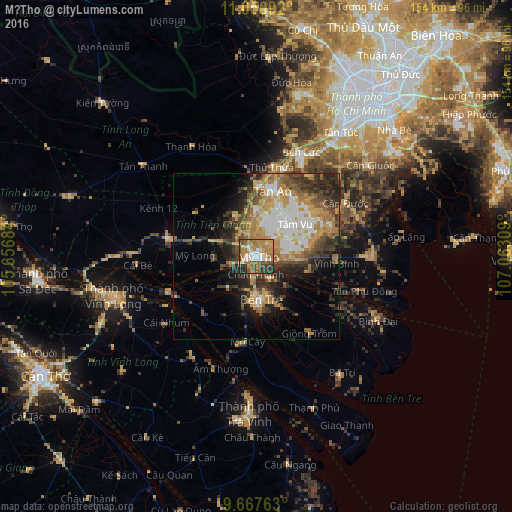
Analysis of Mỹ Tho night lights 2016
Square area 10x10 km:
 8.06%
8.06%90-99
10.12%80-89
9.09%70-79
18.6%60-69
19.42%50-59
8.06%40-49
11.98%30-39
10.33%20-29
4.34%10-19
0%0-9
0%Square area 50x50 km:
4.85%90-99
4.08%80-89
3.01%70-79
6.32%60-69
5.37%50-59
3.61%40-49
4.91%30-39
5.84%20-29
6.91%10-19
7.23%0-9
47.86%Clear (daylight) street map image can be seen on geolist.org.
Map coordinates:
11° 3' 3.3" North, 105° 39' 24.6" East
10° 21' 36.1" North, 106° 21' 35.9" East
9° 40' 3.5" North, 107° 3' 47.1" East
Some cities around Mỹ Tho sort by population:
• Ho Chi Minh City
59.3 km =36.8 mi,  29°
29°
• Cần Giuộc
43.8 km =27.2 mi,  50°
50°
• Vĩnh Long
44 km =27.3 mi,  254°
254°
• Tân An
20.4 km =12.7 mi,  16°
16°
• Bến Tre
13.3 km =8.3 mi,  172°
172°
• Trà Vinh
45.9 km =28.5 mi,  182°
182°
• Cần Giờ
65.3 km =40.6 mi,  85°
85°
• Ấp Tân Ngãi
16.4 km =10.2 mi,  210°
210°
1574023 (p: 122,310)
Sources (retrieved 2019-11-25):
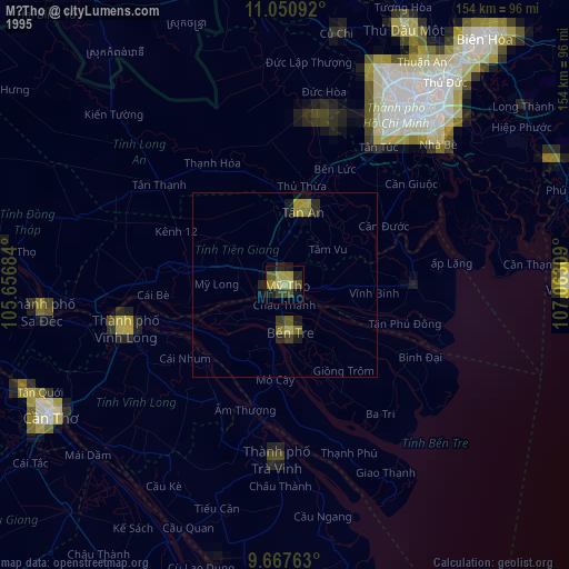
» NASA, Earths city lights 1995
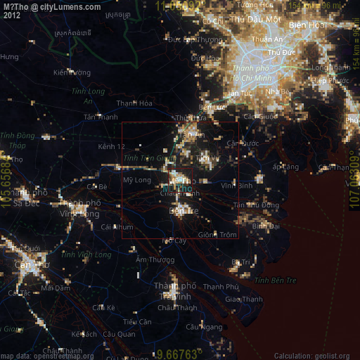
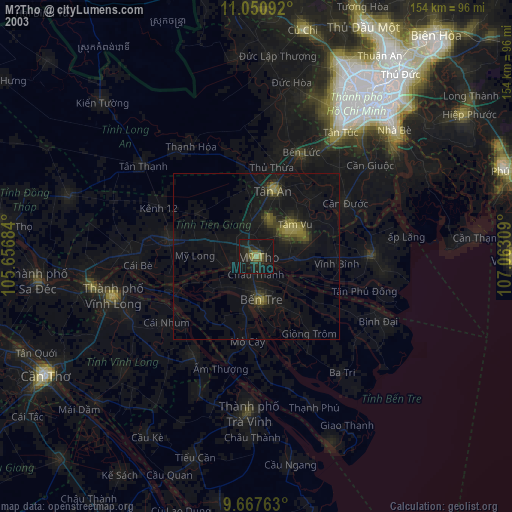
» NASA city lights 2003
» Earth at Night: Flat Maps 2012, 2016