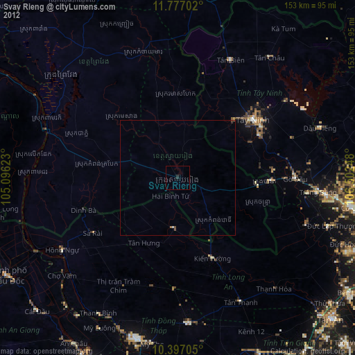
Svay Rieng night lights from space
Night Light of Svay Rieng from space (Cambodia) Src. Average luminocity for 10x10km area is 2.6753% and for 50x50km: 0.354%.
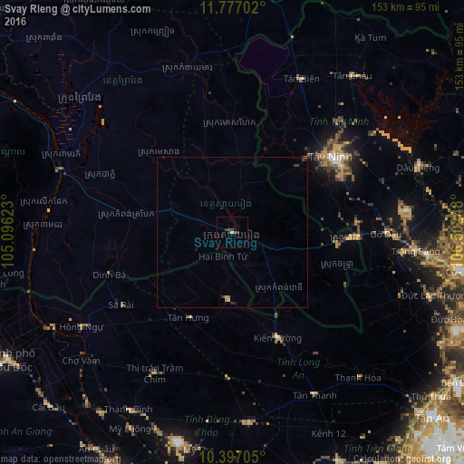
Analysis of Svay Rieng night lights 2016
Square area 10x10 km:
 0%
0%90-99
0%80-89
0.65%70-79
0.22%60-69
0%50-59
0%40-49
1.95%30-39
2.38%20-29
0%10-19
0.87%0-9
93.94%Square area 50x50 km:
0%90-99
0%80-89
0.09%70-79
0.03%60-69
0.07%50-59
0%40-49
0.13%30-39
0.2%20-29
0.06%10-19
0.12%0-9
99.3%Clear (daylight) street map image can be seen on geolist.org.
Map coordinates:
11° 46' 37.3" North, 105° 5' 46.4" East
11° 5' 16.3" North, 105° 47' 57.7" East
10° 23' 49.4" North, 106° 30' 8.9" East
Some cities around Svay Rieng sort by population:
• Sa Dec, VN
88.7 km =55.1 mi,  183°
183°
• Long Xuyên, VN
87.6 km =54.4 mi,  207°
207°
• Củ Chi, VN
76.8 km =47.7 mi,  99°
99°
• Cho Dok, VN
86.1 km =53.5 mi,  239°
239°
• Cao Lãnh, VN
72.1 km =44.8 mi,  194°
194°
• Phú Khương, VN
42.4 km =26.3 mi,  59°
59°
• Tây Ninh, VN
40.9 km =25.4 mi,  52°
52°
• Prey Veng
68.1 km =42.3 mi,  310°
310°
1821993 (p: 23,956)
Sources (retrieved 2019-11-25):
» Earth at Night: Flat Maps 2012, 2016