Phan Rang-Tháp Chàm night lights from space
Night Light of Phan Rang-Tháp Chàm (Ninh Thuận) from space (Vietnam) Src. Average luminocity for 10x10km area is 53.171% and for 50x50km: 4.7683%.
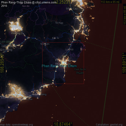

Analysis of Phan Rang-Tháp Chàm night lights 2016
Square area 10x10 km:
 7.14%
7.14%90-99
4.11%80-89
9.74%70-79
19.7%60-69
6.93%50-59
1.95%40-49
10.17%30-39
8.23%20-29
13.85%10-19
17.97%0-9
0.22%Square area 50x50 km:
0.31%90-99
0.19%80-89
0.49%70-79
1.21%60-69
0.94%50-59
0.48%40-49
0.94%30-39
0.73%20-29
1.25%10-19
3.84%0-9
89.62%Clear (daylight) street map image can be seen on geolist.org.
Map coordinates:
12° 15' 8.3" North, 108° 17' 7.7" East
11° 33' 51.6" North, 108° 59' 18.9" East
10° 52' 28.7" North, 109° 41' 30.2" East
Some cities around Phan Rang-Tháp Chàm sort by population:
• Nha Trang
78.9 km =49 mi,  16°
16°
• Ðà Lạt
73.1 km =45.4 mi,  305°
305°
• Đưc Trọng
69.7 km =43.3 mi,  285°
285°
• Bảo Lộc
128.7 km =80 mi,  269°
269°
• Buôn Ma Thuột
160.4 km =99.7 mi,  319°
319°
• Cam Ranh
43.8 km =27.2 mi,  25°
25°
• Đinh Văn
84.9 km =52.8 mi, 286°
• Gia Nghĩa
149.5 km =92.9 mi, 289°
1571067 (p: 91,520)
Sources (retrieved 2019-11-25):
» NASA, Earths city lights 1995
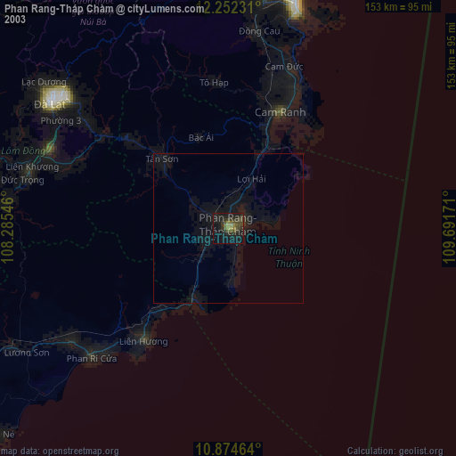
» NASA city lights 2003
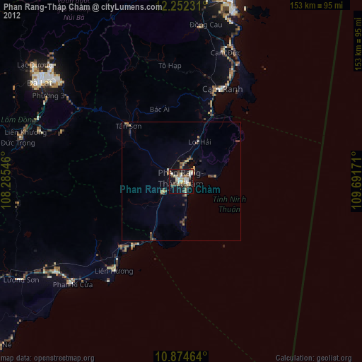
» Earth at Night: Flat Maps 2012, 2016