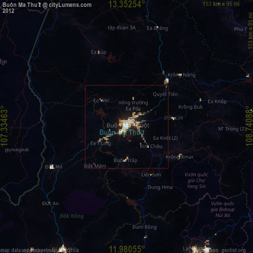
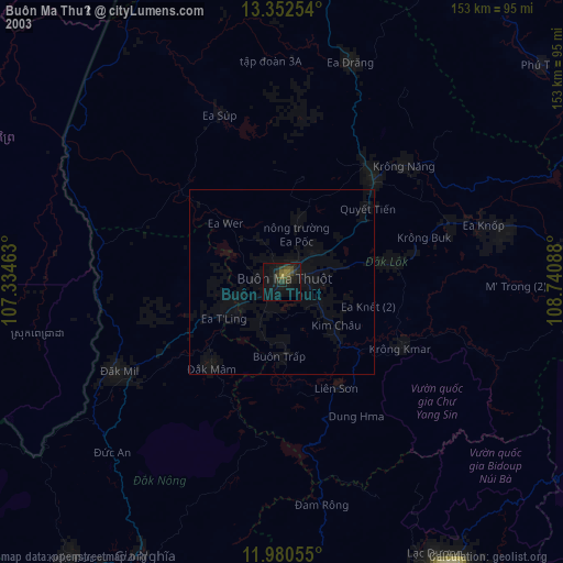
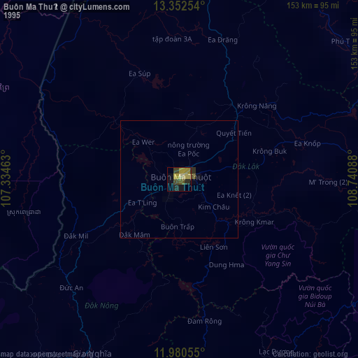
Buôn Ma Thuột night lights from space
Night Light of Buôn Ma Thuột (Đắk Lắk) from space (Vietnam) Src. Average luminocity for 10x10km area is 66.7056% and for 50x50km: 6.4641%.
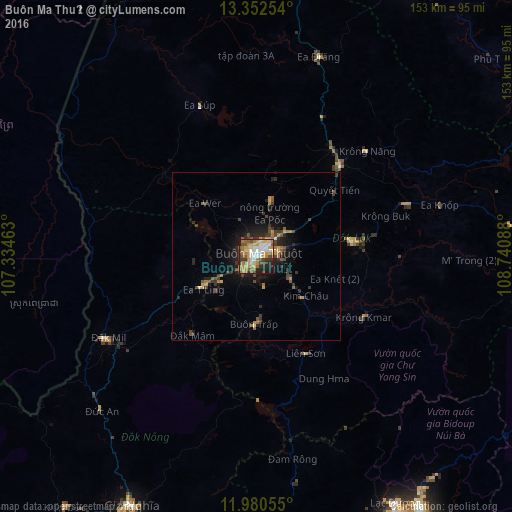
Analysis of Buôn Ma Thuột night lights 2016
Square area 10x10 km:
 12.77%
90-99
11.04%80-89
12.99%70-79
14.5%60-69
14.72%50-59
7.36%40-49
5.63%30-39
7.58%20-29
8.44%10-19
4.98%0-9
0%Square area 50x50 km:
0.5%90-99
0.47%80-89
0.76%70-79
1.05%60-69
1.26%50-59
0.98%40-49
1.19%30-39
1.57%20-29
1.8%10-19
4.3%0-9
86.13%Clear (daylight) street map image can be seen on geolist.org.
Map coordinates:
13° 21' 9.1" North, 107° 20' 4.7" East
12° 40' 2.9" North, 108° 2' 15.9" East
11° 58' 50" North, 108° 44' 27.2" East
Some cities around Buôn Ma Thuột sort by population:
• Nha Trang
134.1 km =83.3 mi,  110°
110°
• Ðà Lạt
91.4 km =56.8 mi,  151°
151°
• Đưc Trọng
109.8 km =68.2 mi,  160°
160°
• Bảo Lộc
127 km =78.9 mi,  191°
191°
• Pleiku
146.4 km =91 mi,  358°
358°
• Đinh Văn
100.5 km =62.4 mi,  167°
167°
• Sen Monorom, KH
95.2 km =59.2 mi,  255°
255°
• Gia Nghĩa
82.8 km =51.4 mi,  207°
207°
1586896 (p: 146,975)
Sources (retrieved 2019-11-25):
» NASA, Earths city lights 1995
» NASA city lights 2003
» Earth at Night: Flat Maps 2012, 2016