Bảo Lộc night lights from space
Night Light of Bảo Lộc (Lâm Đồng) from space (Vietnam) Src. Average luminocity for 10x10km area is 21.7186% and for 50x50km: 1.4379%.
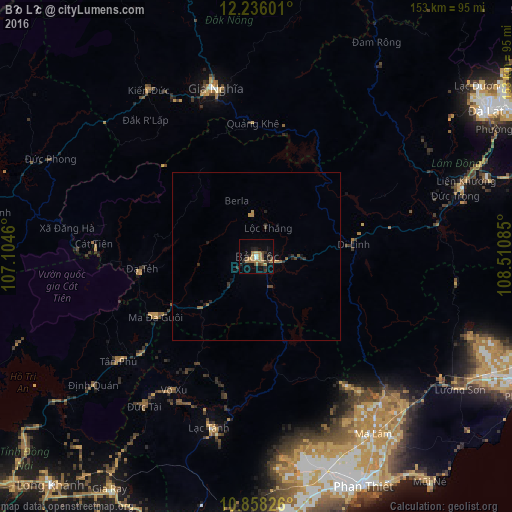
Analysis of Bảo Lộc night lights 2016
Square area 10x10 km:
 0.65%
0.65%90-99
1.08%80-89
1.08%70-79
5.41%60-69
6.71%50-59
2.81%40-49
3.68%30-39
4.98%20-29
5.41%10-19
12.34%0-9
55.84%Square area 50x50 km:
0.03%90-99
0.04%80-89
0.04%70-79
0.31%60-69
0.36%50-59
0.28%40-49
0.28%30-39
0.32%20-29
0.49%10-19
0.68%0-9
97.18%Clear (daylight) street map image can be seen on geolist.org.
Map coordinates:
12° 14' 9.6" North, 107° 6' 16.6" East
11° 32' 52.7" North, 107° 48' 27.8" East
10° 51' 29.7" North, 108° 30' 39.1" East
Some cities around Bảo Lộc sort by population:
• Ðà Lạt
82 km =51 mi,  57°
57°
• Đưc Trọng
65 km =40.4 mi,  71°
71°
• La Gi
98.8 km =61.4 mi,  182°
182°
• Phan Thiết
76 km =47.2 mi,  154°
154°
• Don Luan
100.7 km =62.6 mi,  269°
269°
• Đinh Văn
54.3 km =33.7 mi, 60°
• Sen Monorom, KH
121.4 km =75.4 mi,  326°
326°
• Gia Nghĩa
52.3 km =32.5 mi,  345°
345°
1588275 (p: 151,915)
Sources (retrieved 2019-11-25):
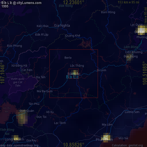
» NASA, Earths city lights 1995
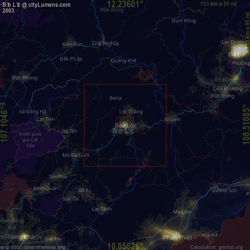
» NASA city lights 2003
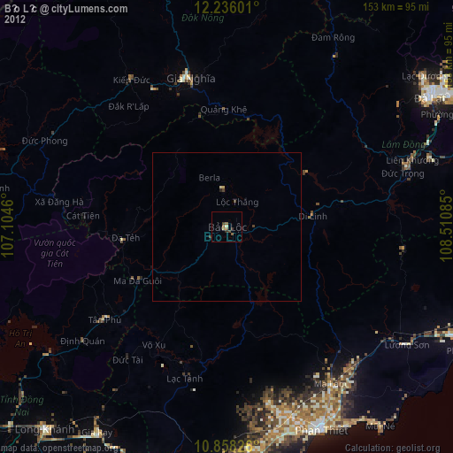
» Earth at Night: Flat Maps 2012, 2016