Đưc Trọng night lights from space
Night Light of Đưc Trọng (Lâm Đồng) from space (Vietnam) Src. Average luminocity for 10x10km area is 18.8926% and for 50x50km: 6.4%.
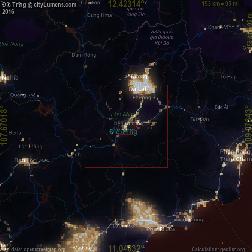
Analysis of Đưc Trọng night lights 2016
Square area 10x10 km:
 0.83%
0.83%90-99
0%80-89
1.65%70-79
2.89%60-69
2.89%50-59
4.75%40-49
4.55%30-39
5.99%20-29
4.55%10-19
17.36%0-9
54.55%Square area 50x50 km:
1.14%90-99
0.78%80-89
0.24%70-79
1.26%60-69
0.51%50-59
0.77%40-49
1.21%30-39
1.24%20-29
1.57%10-19
3.93%0-9
87.34%Clear (daylight) street map image can be seen on geolist.org.
Map coordinates:
12° 25' 23.3" North, 107° 40' 12.6" East
11° 44' 8.1" North, 108° 22' 23.9" East
11° 2' 46.8" North, 109° 4' 35.1" East
Some cities around Đưc Trọng sort by population:
• Nha Trang
105.7 km =65.7 mi,  57°
57°
• Ðà Lạt
24.6 km =15.3 mi,  17°
17°
• Phan Thiết
94.4 km =58.7 mi,  198°
198°
• Bảo Lộc
65 km =40.4 mi,  251°
251°
• Cam Ranh
88 km =54.7 mi,  76°
76°
• Phan Rang-Tháp Chàm
69.7 km =43.3 mi,  105°
105°
• Đinh Văn
15.3 km =9.5 mi,  291°
291°
• Gia Nghĩa
80.1 km =49.8 mi, 291°
1582173 (p: 161,232)
Sources (retrieved 2019-11-25):
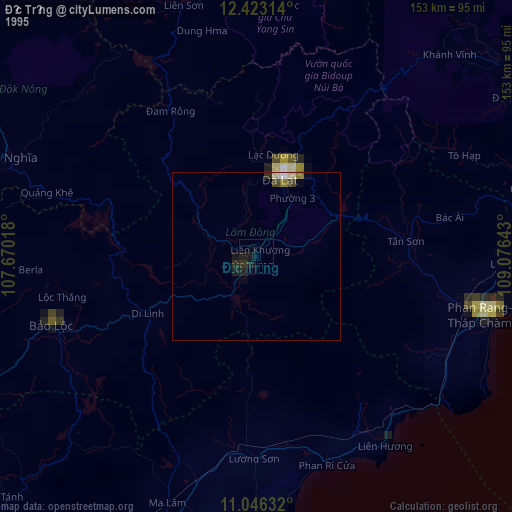
» NASA, Earths city lights 1995
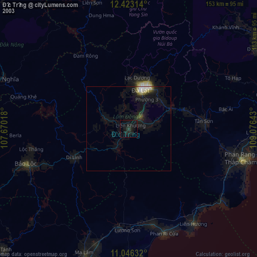
» NASA city lights 2003
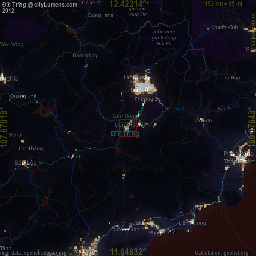
» Earth at Night: Flat Maps 2012, 2016