Lào Cai night lights from space
Night Light of Lào Cai from space (Vietnam) Src. Average luminocity for 10x10km area is 27.7254% and for 50x50km: 2.6136%.
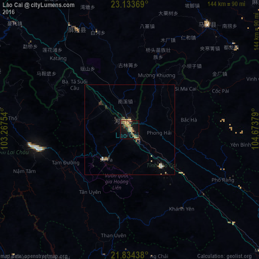
Analysis of Lào Cai night lights 2016
Square area 10x10 km:
 0%
0%90-99
0%80-89
3.79%70-79
6.63%60-69
13.07%50-59
2.08%40-49
4.92%30-39
3.41%20-29
4.55%10-19
26.33%0-9
35.23%Square area 50x50 km:
0.1%90-99
0.12%80-89
0.33%70-79
0.37%60-69
0.82%50-59
0.25%40-49
0.33%30-39
0.52%20-29
0.75%10-19
1.52%0-9
94.89%Clear (daylight) street map image can be seen on geolist.org.
Map coordinates:
23° 8' 1.3" North, 103° 16' 3.1" East
22° 29' 8" North, 103° 58' 14.4" East
21° 50' 3.8" North, 104° 40' 25.6" East
Some cities around Lào Cai sort by population:
• Wenshan City, CN
101.7 km =63.2 mi,  16°
16°
• Gejiu, CN
128.3 km =79.7 mi,  319°
319°
• Yên Bái
128.8 km =80 mi,  131°
131°
• Kaihua, CN
103.2 km =64.1 mi, 17°
• Mabai, CN
76.6 km =47.6 mi,  40°
40°
• Hà Giang
110.5 km =68.7 mi,  70°
70°
• Sa Pa
20.7 km =12.9 mi,  218°
218°
• Lai Châu
53.6 km =33.3 mi,  259°
259°
1576303 (p: 36,502)
Sources (retrieved 2019-11-25):
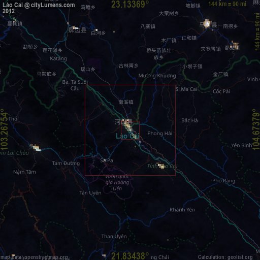
» Earth at Night: Flat Maps 2012, 2016