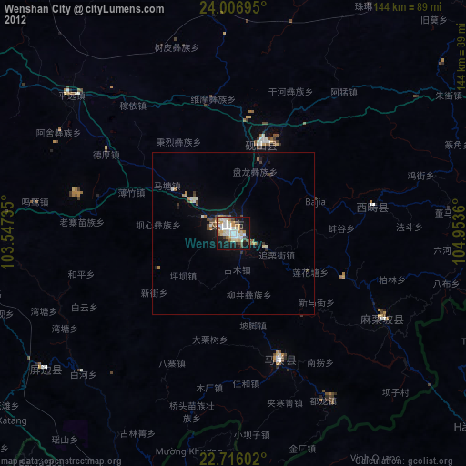
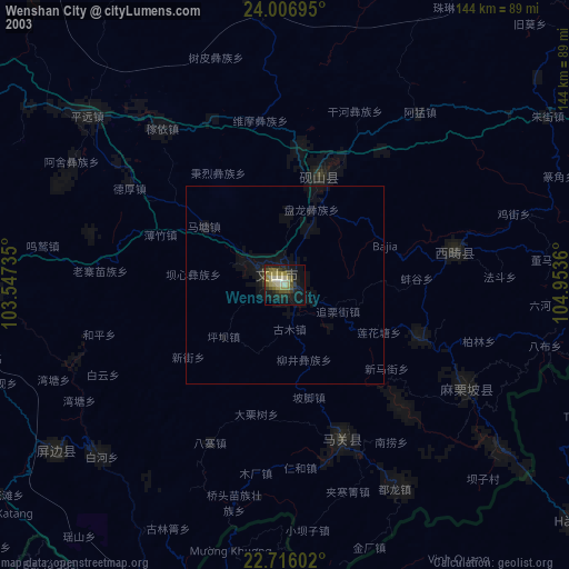
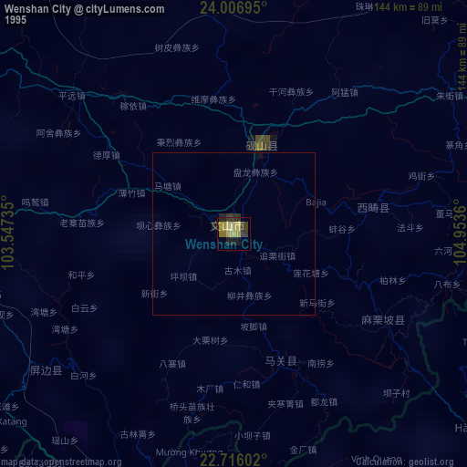
Wenshan City night lights from space
Night Light of Wenshan City (Yunnan) from space (China) Src. Average luminocity for 10x10km area is 55.3655% and for 50x50km: 4.2614%.
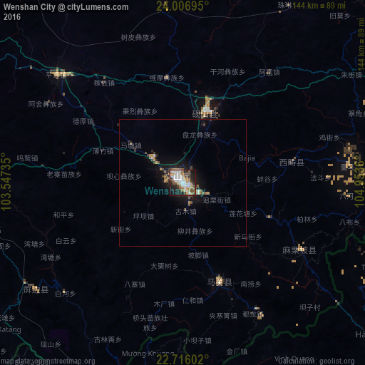
Analysis of Wenshan City night lights 2016
Square area 10x10 km:
 14.77%
90-99
12.12%80-89
3.79%70-79
5.49%60-69
8.14%50-59
7.39%40-49
7.58%30-39
6.25%20-29
17.23%10-19
15.91%0-9
1.33%Square area 50x50 km:
0.65%90-99
0.59%80-89
0.23%70-79
0.55%60-69
0.53%50-59
0.58%40-49
0.66%30-39
0.64%20-29
1.15%10-19
3.62%0-9
90.8%Clear (daylight) street map image can be seen on geolist.org.
Map coordinates:
24° 0' 25" North, 103° 32' 50.5" East
23° 21' 47" North, 104° 15' 1.7" East
22° 42' 57.7" North, 104° 57' 13" East
Some cities around Wenshan City sort by population:
• Kaiyuan
103.4 km =64.2 mi,  291°
291°
• Gejiu
111.9 km =69.5 mi,  269°
269°
• Kaihua
2.8 km =1.7 mi,  75°
75°
• Mabai
44 km =27.3 mi,  152°
152°
• Lào Cai, VN
101.7 km =63.2 mi,  196°
196°
• Hà Giang, VN
96 km =59.7 mi,  128°
128°
• Sa Pa, VN
121.1 km =75.2 mi, 200°
• Lai Châu, VN
134.7 km =83.7 mi,  217°
217°
8505006 (p: 450,000)
Sources (retrieved 2019-11-25):
» NASA, Earths city lights 1995
» NASA city lights 2003
» Earth at Night: Flat Maps 2012, 2016