Lai Châu night lights from space
Night Light of Lai Châu from space (Vietnam) Src. Average luminocity for 10x10km area is 27.3106% and for 50x50km: 1.3546%.
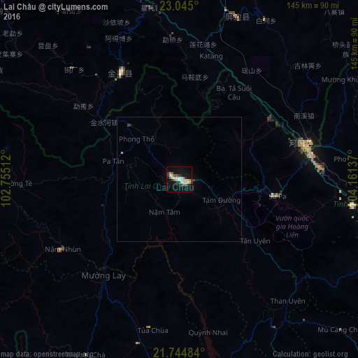
Analysis of Lai Châu night lights 2016
Square area 10x10 km:
 5.11%
5.11%90-99
6.25%80-89
2.46%70-79
2.46%60-69
2.08%50-59
2.84%40-49
2.27%30-39
4.92%20-29
2.84%10-19
26.7%0-9
42.05%Square area 50x50 km:
0.22%90-99
0.26%80-89
0.1%70-79
0.14%60-69
0.09%50-59
0.12%40-49
0.13%30-39
0.27%20-29
0.15%10-19
1.14%0-9
97.38%Clear (daylight) street map image can be seen on geolist.org.
Map coordinates:
23° 2' 42" North, 102° 45' 18.4" East
22° 23' 47.2" North, 103° 27' 29.7" East
21° 44' 41.4" North, 104° 9' 40.9" East
Some cities around Lai Châu sort by population:
• Wenshan City, CN
134.7 km =83.7 mi,  37°
37°
• Gejiu, CN
111.7 km =69.4 mi,  343°
343°
• Kaihua, CN
136.9 km =85.1 mi, 37°
• Mabai, CN
122.7 km =76.2 mi,  56°
56°
• Dien Bien Phu
121 km =75.2 mi,  201°
201°
• Lào Cai
53.6 km =33.3 mi,  79°
79°
• Sơn La
128.2 km =79.7 mi,  158°
158°
• Sa Pa
40.2 km =25 mi,  98°
98°
8456741 (p: 0)
Sources (retrieved 2019-11-25):
» Earth at Night: Flat Maps 2012, 2016