Takeo night lights from space
Night Light of Takeo from space (Cambodia) Src. Average luminocity for 10x10km area is 0.7229% and for 50x50km: 0.0461%.
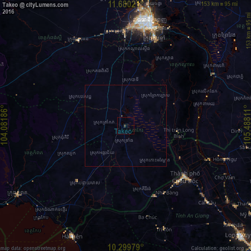
Analysis of Takeo night lights 2016
Square area 10x10 km:
 0%
0%90-99
0%80-89
0%70-79
0%60-69
0%50-59
0%40-49
0.87%30-39
0.87%20-29
0%10-19
0%0-9
98.27%Square area 50x50 km:
0%90-99
0%80-89
0%70-79
0%60-69
0%50-59
0%40-49
0.07%30-39
0.03%20-29
0%10-19
0%0-9
99.9%Clear (daylight) street map image can be seen on geolist.org.
Map coordinates:
11° 40' 48.8" North, 104° 4' 54.7" East
10° 59' 26.9" North, 104° 47' 5.9" East
10° 17' 59.2" North, 105° 29' 17.2" East
Some cities around Takeo sort by population:
• Phnom Penh
65.1 km =40.5 mi,  12°
12°
• Cho Dok, VN
48.6 km =30.2 mi,  131°
131°
• Ta Khmau
57.6 km =35.8 mi,  18°
18°
• Phumĭ Véal Srê
1.3 km =0.8 mi,  213°
213°
• Hà Tiên, VN
75 km =46.6 mi, 205°
• Kampong Speu
58.9 km =36.6 mi,  330°
330°
• Kampot
78.3 km =48.7 mi,  237°
237°
• Krong Kep
76.2 km =47.3 mi,  222°
222°
1821940 (p: 843,931)
Sources (retrieved 2019-11-25):
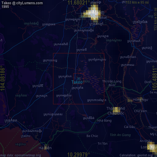
» NASA, Earths city lights 1995
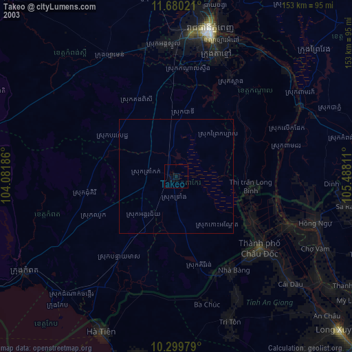
» NASA city lights 2003
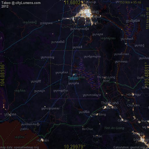
» Earth at Night: Flat Maps 2012, 2016