Kampot night lights from space
Night Light of Kampot from space (Cambodia) Src. Average luminocity for 10x10km area is 5.9793% and for 50x50km: 0.3734%.
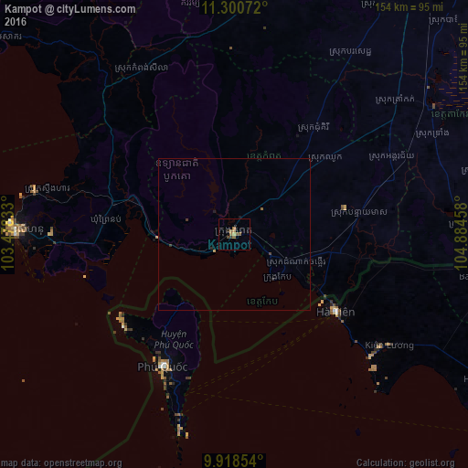
Analysis of Kampot night lights 2016
Square area 10x10 km:
 0%
0%90-99
0%80-89
0.83%70-79
0%60-69
2.89%50-59
2.89%40-49
0.83%30-39
1.45%20-29
0.21%10-19
0%0-9
90.91%Square area 50x50 km:
0%90-99
0%80-89
0.03%70-79
0.03%60-69
0.12%50-59
0.15%40-49
0.05%30-39
0.14%20-29
0.09%10-19
0.05%0-9
99.33%Clear (daylight) street map image can be seen on geolist.org.
Map coordinates:
11° 18' 2.6" North, 103° 28' 42" East
10° 36' 37.5" North, 104° 10' 53.2" East
9° 55' 6.7" North, 104° 53' 4.5" East
Some cities around Kampot sort by population:
• Takeo
78.3 km =48.7 mi,  57°
57°
• Rạch Giá, VN
118.8 km =73.8 mi,  124°
124°
• Sihanoukville
71.2 km =44.2 mi,  269°
269°
• Cho Dok, VN
102.7 km =63.8 mi,  84°
84°
• Phumĭ Véal Srê
77.1 km =47.9 mi, 57°
• Hà Tiên, VN
41.9 km =26 mi,  127°
127°
• Dương Đông, VN
50 km =31.1 mi,  209°
209°
• Krong Kep
20.5 km =12.7 mi, 133°
1831112 (p: 22,691)
Sources (retrieved 2019-11-25):
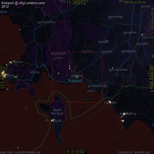
» Earth at Night: Flat Maps 2012, 2016