Phan Thiết night lights from space
Night Light of Phan Thiết (Bình Thuận) from space (Vietnam) Src. Average luminocity for 10x10km area is 75.9481% and for 50x50km: 35.373%.
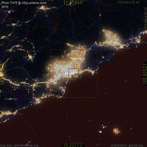
Analysis of Phan Thiết night lights 2016
Square area 10x10 km:
 27.92%
90-99
23.81%80-89
3.25%70-79
8.66%60-69
5.19%50-59
3.9%40-49
14.72%30-39
7.36%20-29
3.68%10-19
1.52%0-9
0%Square area 50x50 km:
6.36%90-99
5.83%80-89
2.64%70-79
9.76%60-69
6.12%50-59
3.98%40-49
5.76%30-39
5.51%20-29
6.02%10-19
7.94%0-9
40.08%Clear (daylight) street map image can be seen on geolist.org.
Map coordinates:
11° 37' 6.4" North, 107° 23' 56.3" East
10° 55' 44" North, 108° 6' 7.5" East
10° 14' 15.8" North, 108° 48' 18.8" East
Some cities around Phan Thiết sort by population:
• Thị Xã Phú Mỹ
113.5 km =70.5 mi,  249°
249°
• Ðà Lạt
119.1 km =74 mi,  18°
18°
• Đưc Trọng
94.4 km =58.7 mi, 18°
• La Gi
46.8 km =29.1 mi,  230°
230°
• Bảo Lộc
76 km =47.2 mi,  334°
334°
• Đinh Văn
96.6 km =60 mi,  9°
9°
• Gia Nghĩa
127.7 km =79.3 mi,  339°
339°
• Thành Phố Bà Rịa
112.8 km =70.1 mi,  244°
244°
1571058 (p: 160,652)
Sources (retrieved 2019-11-25):
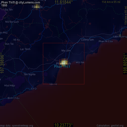
» NASA, Earths city lights 1995
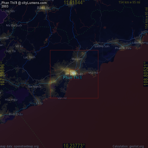
» NASA city lights 2003
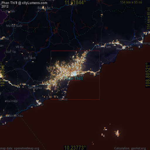
» Earth at Night: Flat Maps 2012, 2016