Santa Rita night lights from space
Night Light of Santa Rita (Zulia) from space (Venezuela) Src. Average luminocity for 10x10km area is 63.3492% and for 50x50km: 41.562%.
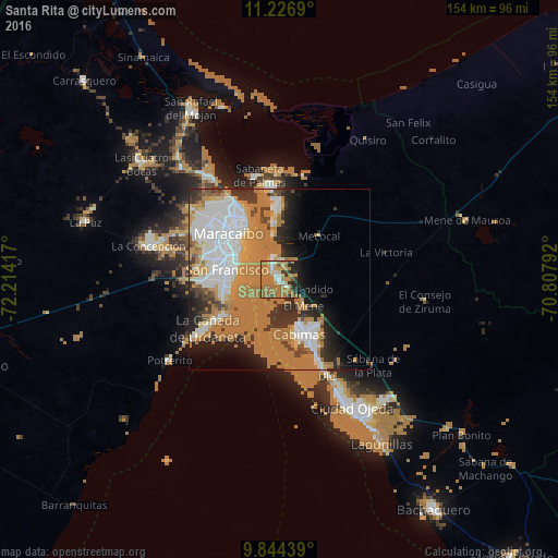
Analysis of Santa Rita night lights 2016
Square area 10x10 km:
 5.37%
5.37%90-99
4.96%80-89
6.82%70-79
12.4%60-69
48.35%50-59
1.45%40-49
1.65%30-39
6.82%20-29
10.12%10-19
2.07%0-9
0%Square area 50x50 km:
9.67%90-99
5.65%80-89
3%70-79
6.73%60-69
19.71%50-59
0.98%40-49
1.92%30-39
4.48%20-29
6.76%10-19
7.42%0-9
33.68%Clear (daylight) street map image can be seen on geolist.org.
Map coordinates:
11° 13' 36.8" North, 72° 12' 51" West
10° 32' 11.1" North, 71° 30' 39.7" West
9° 50' 39.8" North, 70° 48' 28.5" West
Some cities around Santa Rita sort by population:
• Maracaibo
18.2 km =11.3 mi,  322°
322°
• Cabimas
16.6 km =10.3 mi,  157°
157°
• Maicao, CO
122.8 km =76.3 mi, 319°
• La Villa del Rosario
90.8 km =56.4 mi,  255°
255°
• Machiques
125.6 km =78 mi,  245°
245°
• Lagunillas
52.9 km =32.9 mi,  148°
148°
• Barrancas, CO
147.8 km =91.8 mi,  288°
288°
• Albania, CO
137 km =85.1 mi,  300°
300°
3627186 (p: 31,810)
Sources (retrieved 2019-11-25):
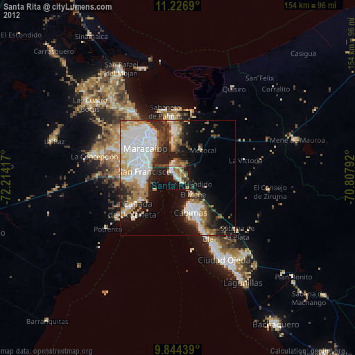
» Earth at Night: Flat Maps 2012, 2016