La Guaira night lights from space
Night Light of La Guaira (Vargas) from space (Venezuela) Src. Average luminocity for 10x10km area is 30.7686% and for 50x50km: 23.9154%.
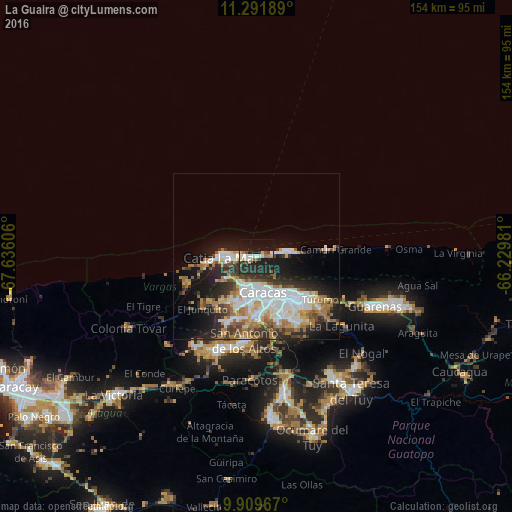
Analysis of La Guaira night lights 2016
Square area 10x10 km:
 4.34%
4.34%90-99
4.13%80-89
3.51%70-79
1.24%60-69
3.93%50-59
2.89%40-49
3.51%30-39
1.65%20-29
26.65%10-19
35.12%0-9
13.02%Square area 50x50 km:
5.82%90-99
4.27%80-89
2.1%70-79
2.71%60-69
4.6%50-59
1.94%40-49
2.51%30-39
3.7%20-29
6.38%10-19
10.8%0-9
55.17%Clear (daylight) street map image can be seen on geolist.org.
Map coordinates:
11° 17' 30.8" North, 67° 38' 9.8" West
10° 36' 5.6" North, 66° 55' 58.5" West
9° 54' 34.8" North, 66° 13' 47.3" West
Some cities around La Guaira sort by population:
• Caracas
13.9 km =8.6 mi,  155°
155°
• Petare
19.5 km =12.1 mi,  135°
135°
• Catia La Mar
10.9 km =6.8 mi,  272°
272°
• El Cafetal
18.9 km =11.7 mi, 143°
• Chacao
14.6 km =9.1 mi, 143°
• Los Dos Caminos
16.5 km =10.3 mi, 136°
• Maiquetía
2.7 km =1.7 mi,  252°
252°
• Caraballeda
8.9 km =5.5 mi,  82°
82°
3637721 (p: 25,259)
Sources (retrieved 2019-11-25):
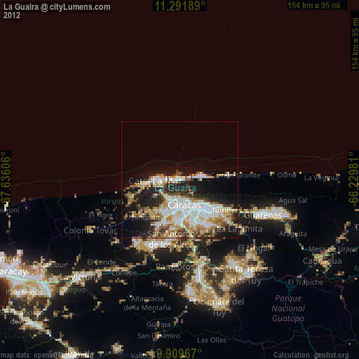
» Earth at Night: Flat Maps 2012, 2016