Maiquetía night lights from space
Night Light of Maiquetía (Vargas) from space (Venezuela) Src. Average luminocity for 10x10km area is 36.5496% and for 50x50km: 24.2599%.
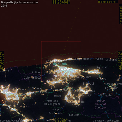
Analysis of Maiquetía night lights 2016
Square area 10x10 km:
 5.58%
5.58%90-99
4.55%80-89
4.13%70-79
2.69%60-69
4.13%50-59
2.07%40-49
4.55%30-39
9.09%20-29
32.64%10-19
27.89%0-9
2.69%Square area 50x50 km:
5.91%90-99
4.35%80-89
2.1%70-79
2.84%60-69
4.72%50-59
1.96%40-49
2.52%30-39
3.72%20-29
6.51%10-19
10.54%0-9
54.84%Clear (daylight) street map image can be seen on geolist.org.
Map coordinates:
11° 17' 5.4" North, 67° 39' 33.7" West
10° 35' 40.2" North, 66° 57' 22.5" West
9° 54' 9.4" North, 66° 15' 11.2" West
Some cities around Maiquetía sort by population:
• Caracas
14.5 km =9 mi,  144°
144°
• Baruta
19.9 km =12.4 mi,  153°
153°
• Catia La Mar
8.4 km =5.2 mi,  278°
278°
• El Cafetal
19.9 km =12.4 mi, 136°
• Chacao
15.7 km =9.8 mi,  134°
134°
• Los Dos Caminos
17.9 km =11.1 mi, 128°
• Caraballeda
11.6 km =7.2 mi,  80°
80°
• La Guaira
2.7 km =1.7 mi,  72°
72°
3633341 (p: 52,564)
Sources (retrieved 2019-11-25):
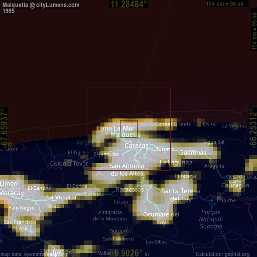
» NASA, Earths city lights 1995
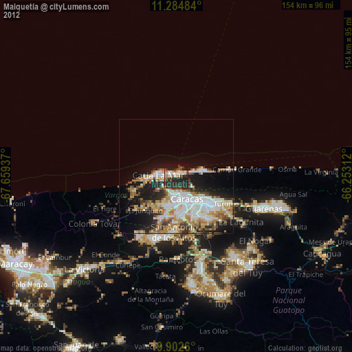
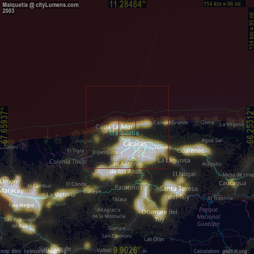
» NASA city lights 2003
» Earth at Night: Flat Maps 2012, 2016