Istaravshan night lights from space
Night Light of Istaravshan (Sughd) from space (Tajikistan) Src. Average luminocity for 10x10km area is 2.3895% and for 50x50km: 0.1905%.
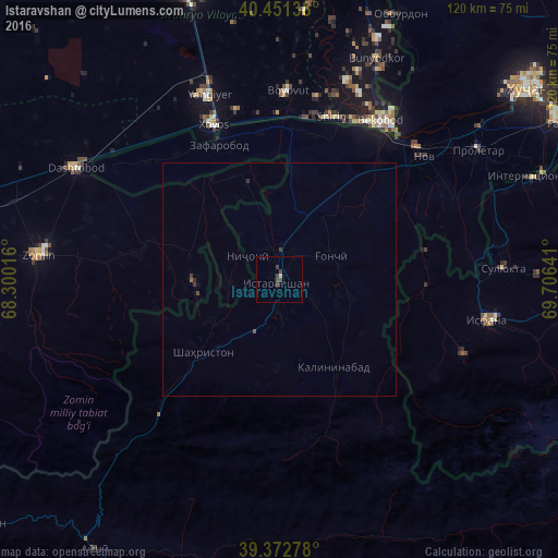
Analysis of Istaravshan night lights 2016
Square area 10x10 km:
 0%
0%90-99
0%80-89
0.68%70-79
0%60-69
0%50-59
0%40-49
0.51%30-39
3.57%20-29
0%10-19
0%0-9
95.24%Square area 50x50 km:
0%90-99
0%80-89
0.03%70-79
0%60-69
0%50-59
0.05%40-49
0.06%30-39
0.23%20-29
0.04%10-19
0.01%0-9
99.59%Clear (daylight) street map image can be seen on geolist.org.
Map coordinates:
40° 27' 5" North, 68° 18' 0.6" East
39° 54' 51.1" North, 69° 0' 11.8" East
39° 22' 22" North, 69° 42' 23.1" East
Some cities around Istaravshan sort by population:
• Bekobod, UZ
40.9 km =25.4 mi,  33°
33°
• Yangiyer, UZ
43 km =26.7 mi,  339°
339°
• Dashtobod, UZ
49.4 km =30.7 mi,  298°
298°
• Isfana, KG
45.5 km =28.3 mi,  100°
100°
• Proletar
50.9 km =31.6 mi,  56°
56°
• Suluktu, KG
48.2 km =30 mi,  87°
87°
• Nov
41 km =25.5 mi,  49°
49°
• Pakhtakoron
34.7 km =21.6 mi,  321°
321°
1220253 (p: 52,851)
Sources (retrieved 2019-11-25):
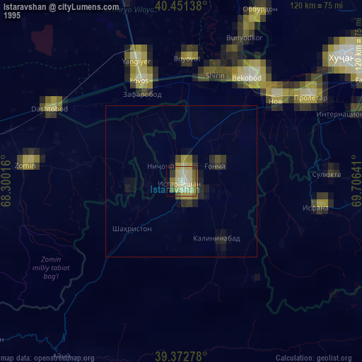
» NASA, Earths city lights 1995
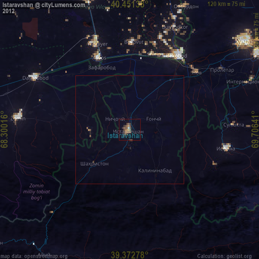
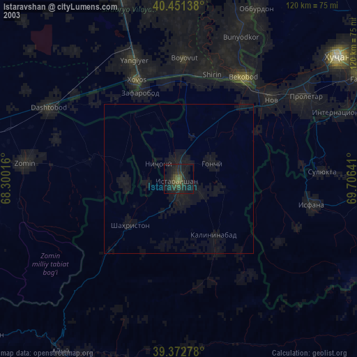
» NASA city lights 2003
» Earth at Night: Flat Maps 2012, 2016