Bekobod night lights from space
Night Light of Bekobod (Toshkent) from space (Uzbekistan) Src. Average luminocity for 10x10km area is 30.5747% and for 50x50km: 4.5173%.
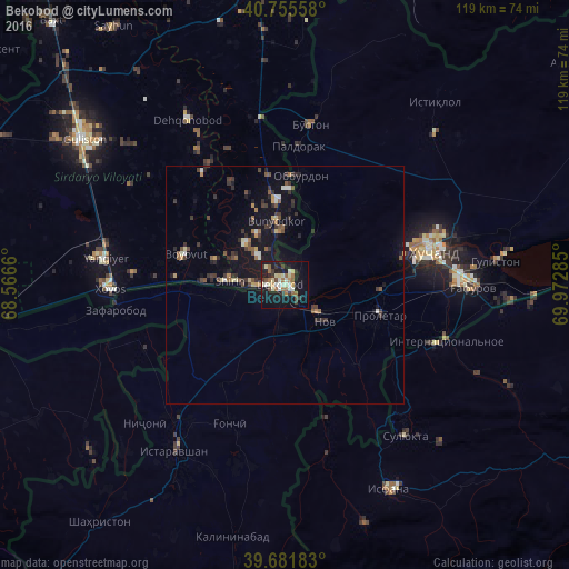
Analysis of Bekobod night lights 2016
Square area 10x10 km:
 0.65%
0.65%90-99
7.95%80-89
5.68%70-79
1.79%60-69
5.36%50-59
3.73%40-49
2.6%30-39
6.01%20-29
2.11%10-19
38.15%0-9
25.97%Square area 50x50 km:
0.16%90-99
0.63%80-89
0.46%70-79
0.36%60-69
0.56%50-59
0.68%40-49
0.64%30-39
1.27%20-29
1.04%10-19
4.98%0-9
89.21%Clear (daylight) street map image can be seen on geolist.org.
Map coordinates:
40° 45' 20.1" North, 68° 33' 59.8" East
40° 13' 15" North, 69° 16' 11" East
39° 40' 54.6" North, 69° 58' 22.3" East
Some cities around Bekobod sort by population:
• Khŭjand, TJ
30.7 km =19.1 mi,  77°
77°
• Istaravshan, TJ
40.9 km =25.4 mi,  213°
213°
• Yangiyer
38.4 km =23.9 mi,  279°
279°
• Chkalov, TJ
36.1 km =22.4 mi,  87°
87°
• Proletar, TJ
20.6 km =12.8 mi,  106°
106°
• Suluktu, KG
40.5 km =25.2 mi,  141°
141°
• Nov, TJ
11.5 km =7.1 mi,  131°
131°
• Bŭston, TJ
34 km =21.1 mi,  9°
9°
1514402 (p: 86,259)
Sources (retrieved 2019-11-25):
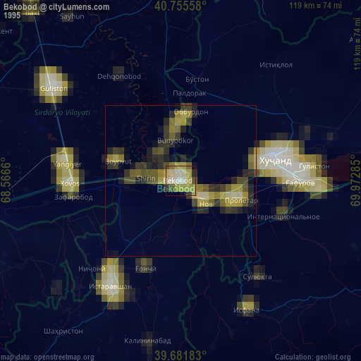
» NASA, Earths city lights 1995
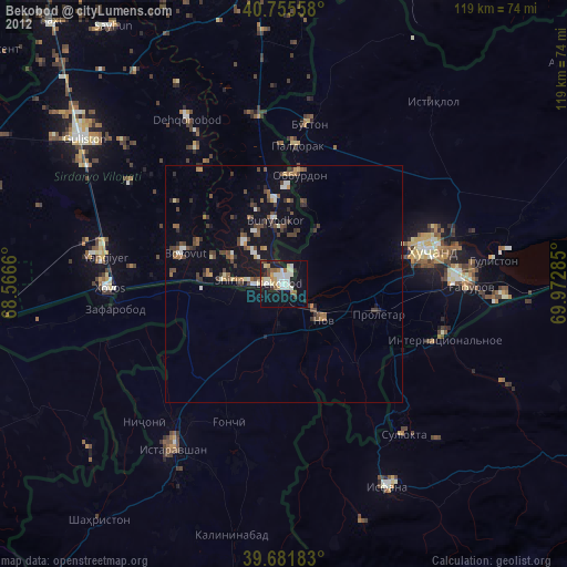
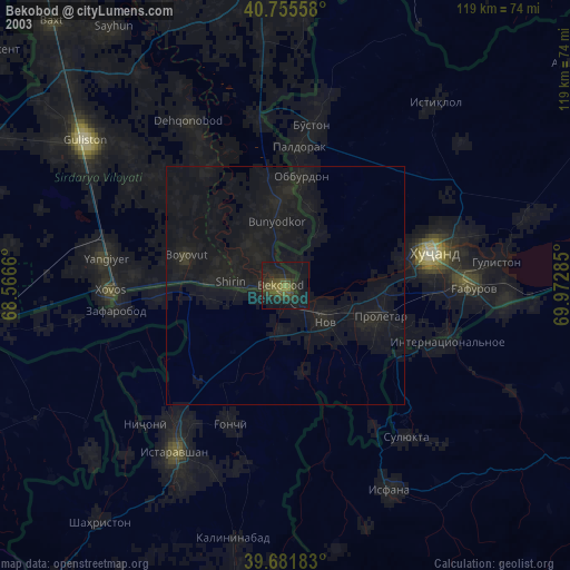
» NASA city lights 2003
» Earth at Night: Flat Maps 2012, 2016