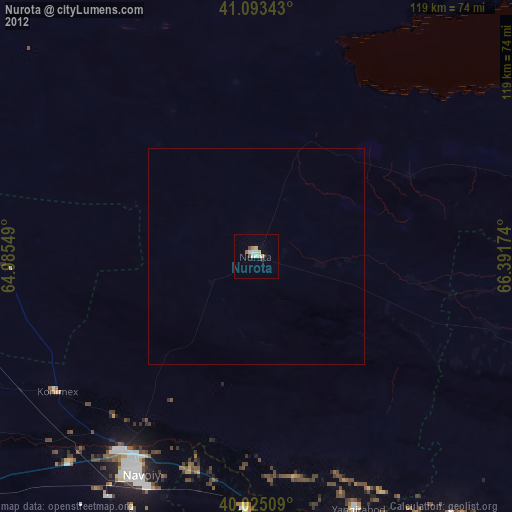
Nurota night lights from space
Night Light of Nurota (Navoiy) from space (Uzbekistan) Src. Average luminocity for 10x10km area is 7.099% and for 50x50km: 0.2894%.
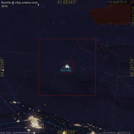
Analysis of Nurota night lights 2016
Square area 10x10 km:
 1.3%
1.3%90-99
2.44%80-89
0.81%70-79
0%60-69
0%50-59
0.65%40-49
0.65%30-39
1.14%20-29
0.49%10-19
0.97%0-9
91.56%Square area 50x50 km:
0.05%90-99
0.1%80-89
0.03%70-79
0%60-69
0%50-59
0.03%40-49
0.03%30-39
0.05%20-29
0.02%10-19
0.04%0-9
99.66%Clear (daylight) street map image can be seen on geolist.org.
Map coordinates:
41° 5' 36.3" North, 64° 59' 7.8" East
40° 33' 41" North, 65° 41' 19" East
40° 1' 30.3" North, 66° 23' 30.3" East
Some cities around Nurota sort by population:
• Navoiy
59.2 km =36.8 mi,  206°
206°
• Kattaqo‘rg‘on
88 km =54.7 mi,  146°
146°
• Ghijduwon
99.5 km =61.8 mi,  238°
238°
• Oqtosh
73.9 km =45.9 mi,  164°
164°
• Yangirabot
63.9 km =39.7 mi, 158°
• Payshanba
77.2 km =48 mi,  142°
142°
• Qiziltepa
92.2 km =57.3 mi,  230°
230°
• Ishtixon
94.6 km =58.8 mi,  134°
134°
1513087 (p: 29,403)
Sources (retrieved 2019-11-25):
» Earth at Night: Flat Maps 2012, 2016