Kattaqo‘rg‘on night lights from space
Night Light of Kattaqo‘rg‘on (Samarqand) from space (Uzbekistan) Src. Average luminocity for 10x10km area is 47.0663% and for 50x50km: 3.4883%.
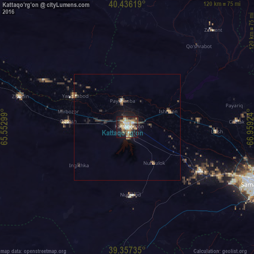
Analysis of Kattaqo‘rg‘on night lights 2016
Square area 10x10 km:
 3.91%
3.91%90-99
10.88%80-89
6.46%70-79
11.22%60-69
5.78%50-59
7.48%40-49
3.57%30-39
7.82%20-29
9.86%10-19
28.57%0-9
4.42%Square area 50x50 km:
0.17%90-99
0.49%80-89
0.34%70-79
0.55%60-69
0.39%50-59
0.46%40-49
0.62%30-39
0.95%20-29
1.01%10-19
2.66%0-9
92.36%Clear (daylight) street map image can be seen on geolist.org.
Map coordinates:
40° 26' 10.3" North, 65° 33' 10.8" East
39° 53' 56" North, 66° 15' 22" East
39° 21' 26.5" North, 66° 57' 33.3" East
Some cities around Kattaqo‘rg‘on sort by population:
• Oqtosh
28.3 km =17.6 mi,  275°
275°
• Yangirabot
28.8 km =17.9 mi,  299°
299°
• Payshanba
12.2 km =7.6 mi,  352°
352°
• Juma
40.3 km =25 mi,  120°
120°
• Chelak
51.7 km =32.1 mi,  87°
87°
• Charxin
49.2 km =30.6 mi, 117°
• Ishtixon
21 km =13 mi,  69°
69°
• Daxbet
58 km =36 mi,  104°
104°
1216982 (p: 59,382)
Sources (retrieved 2019-11-25):
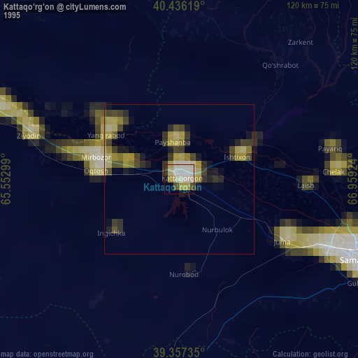
» NASA, Earths city lights 1995
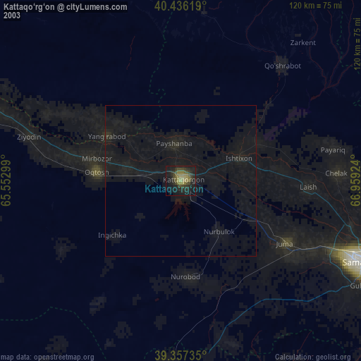
» NASA city lights 2003
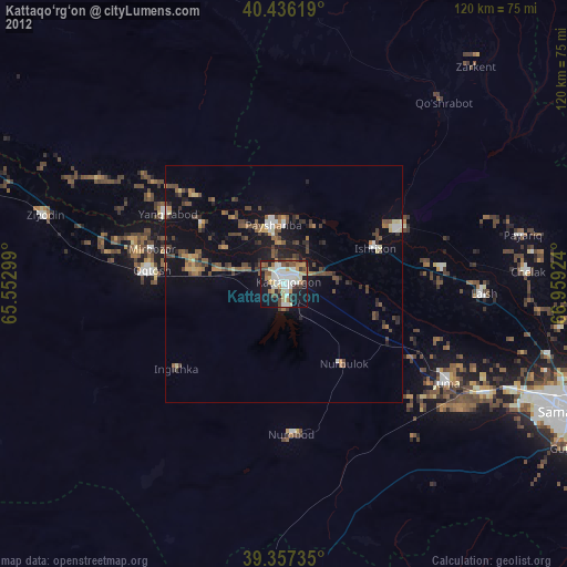
» Earth at Night: Flat Maps 2012, 2016