Yangirabot night lights from space
Night Light of Yangirabot (Navoiy) from space (Uzbekistan) Src. Average luminocity for 10x10km area is 8.1769% and for 50x50km: 2.8397%.
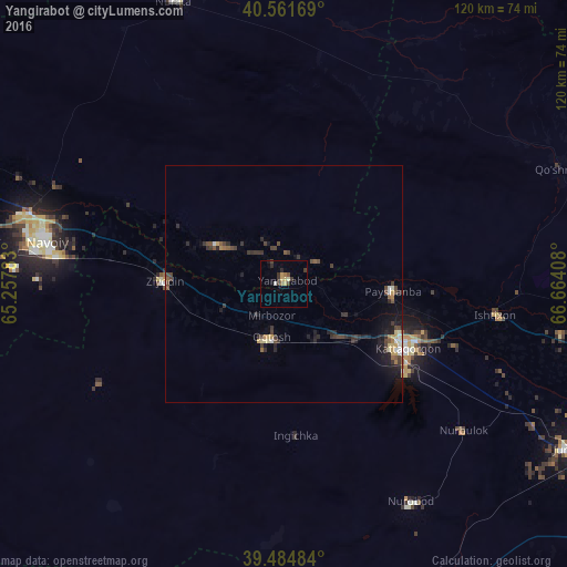
Analysis of Yangirabot night lights 2016
Square area 10x10 km:
 0.16%
0.16%90-99
0.49%80-89
1.3%70-79
1.95%60-69
0.81%50-59
0.81%40-49
0.32%30-39
4.38%20-29
1.46%10-19
1.3%0-9
87.01%Square area 50x50 km:
0.13%90-99
0.31%80-89
0.28%70-79
0.38%60-69
0.22%50-59
0.37%40-49
0.59%30-39
1.1%20-29
0.88%10-19
1.64%0-9
94.11%Clear (daylight) street map image can be seen on geolist.org.
Map coordinates:
40° 33' 42.1" North, 65° 15' 28.2" East
40° 1' 31.4" North, 65° 57' 39.4" East
39° 29' 5.4" North, 66° 39' 50.7" East
Some cities around Yangirabot sort by population:
• Navoiy
49.9 km =31 mi,  277°
277°
• Kattaqo‘rg‘on
28.8 km =17.9 mi,  119°
119°
• Oqtosh
12 km =7.5 mi,  194°
194°
• Nurota
63.9 km =39.7 mi,  338°
338°
• Payshanba
23.6 km =14.7 mi,  94°
94°
• Juma
69.2 km =43 mi, 119°
• Chelak
77.6 km =48.2 mi,  98°
98°
• Ishtixon
45.2 km =28.1 mi, 98°
1512348 (p: 25,027)
Sources (retrieved 2019-11-25):
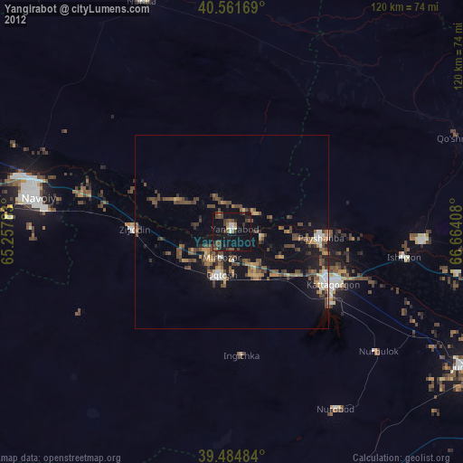
» Earth at Night: Flat Maps 2012, 2016