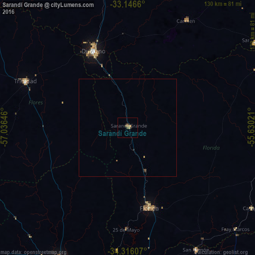
Sarandí Grande night lights from space
Night Light of Sarandí Grande (Florida) from space (Uruguay) Src. Average luminocity for 10x10km area is 4.3004% and for 50x50km: 0.2694%.
Analysis of Sarandí Grande night lights 2016
Square area 10x10 km:
 0%
0%90-99
0%80-89
0.92%70-79
1.1%60-69
0.92%50-59
0.18%40-49
2.01%30-39
0.73%20-29
0.92%10-19
0.55%0-9
92.67%Square area 50x50 km:
0%90-99
0%80-89
0.05%70-79
0.06%60-69
0.06%50-59
0.02%40-49
0.09%30-39
0.11%20-29
0.06%10-19
0.02%0-9
99.52%Clear (daylight) street map image can be seen on geolist.org.
Map coordinates:
33° 8' 47.8" South, 57° 2' 11.3" West
33° 43' 60" South, 56° 19' 60" West
34° 18' 57.9" South, 55° 37' 48.8" West
Some cities around Sarandí Grande sort by population:
• San José de Mayo
75.8 km =47.1 mi,  207°
207°
• Durazno
43 km =26.7 mi,  335°
335°
• Florida
41.8 km =26 mi,  164°
164°
• Trinidad
57.7 km =35.9 mi,  294°
294°
• Canelones
87.9 km =54.6 mi,  176°
176°
• Santa Lucía
80.2 km =49.8 mi, 183°
• Paso de los Toros
103.3 km =64.2 mi,  350°
350°
• San Ramón
71.2 km =44.2 mi,  150°
150°
3440394 (p: 6,441)
Sources (retrieved 2019-11-25):
» Earth at Night: Flat Maps 2012, 2016