Paso de los Toros night lights from space
Night Light of Paso de los Toros (Tacuarembó) from space (Uruguay) Src. Average luminocity for 10x10km area is 12.0332% and for 50x50km: 0.5896%.
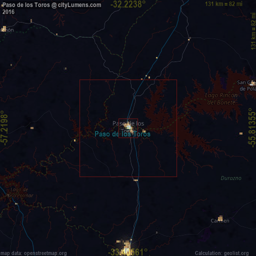
Analysis of Paso de los Toros night lights 2016
Square area 10x10 km:
 0.7%
0.7%90-99
1.4%80-89
0.7%70-79
2.62%60-69
2.45%50-59
1.92%40-49
0.87%30-39
4.37%20-29
0.7%10-19
1.4%0-9
82.87%Square area 50x50 km:
0.03%90-99
0.06%80-89
0.06%70-79
0.12%60-69
0.11%50-59
0.1%40-49
0.04%30-39
0.21%20-29
0.03%10-19
0.06%0-9
99.19%Clear (daylight) street map image can be seen on geolist.org.
Map coordinates:
32° 13' 25.7" South, 57° 13' 11.3" West
32° 49' 0" South, 56° 31' 0" West
33° 24' 20.2" South, 55° 48' 48.8" West
Some cities around Paso de los Toros sort by population:
• Tacuarembó
132.2 km =82.1 mi,  22°
22°
• Durazno
62.7 km =39 mi,  180°
180°
• Florida
144.9 km =90 mi,  168°
168°
• Trinidad
85.6 km =53.2 mi,  204°
204°
• Young
104.6 km =65 mi,  277°
277°
• Sarandí del Yi
101.4 km =63 mi,  125°
125°
• Sarandí Grande
103.3 km =64.2 mi, 170°
• Guichón
81.7 km =50.8 mi,  308°
308°
3441273 (p: 13,221)
Sources (retrieved 2019-11-25):
» Earth at Night: Flat Maps 2012, 2016