Durazno night lights from space
Night Light of Durazno from space (Uruguay) Src. Average luminocity for 10x10km area is 30.4738% and for 50x50km: 1.4996%.
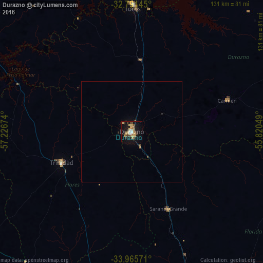
Analysis of Durazno night lights 2016
Square area 10x10 km:
 1.75%
1.75%90-99
3.67%80-89
6.64%70-79
6.64%60-69
4.37%50-59
3.85%40-49
4.2%30-39
3.85%20-29
2.1%10-19
35.14%0-9
27.8%Square area 50x50 km:
0.07%90-99
0.15%80-89
0.28%70-79
0.31%60-69
0.18%50-59
0.21%40-49
0.17%30-39
0.19%20-29
0.14%10-19
1.52%0-9
96.77%Clear (daylight) street map image can be seen on geolist.org.
Map coordinates:
32° 47' 29.2" South, 57° 13' 36.3" West
33° 22' 50" South, 56° 31' 25" West
33° 57' 56.6" South, 55° 49' 13.8" West
Some cities around Durazno sort by population:
• San José de Mayo
107.8 km =67 mi,  189°
189°
• Florida
84.5 km =52.5 mi,  160°
160°
• Trinidad
38 km =23.6 mi,  246°
246°
• Santa Lucía
119.9 km =74.5 mi,  174°
174°
• Paso de los Toros
62.7 km =39 mi,  0°
0°
• Sarandí del Yi
82.7 km =51.4 mi,  87°
87°
• San Ramón
114.1 km =70.9 mi,  152°
152°
• Sarandí Grande
43 km =26.7 mi, 155°
3442727 (p: 33,926)
Sources (retrieved 2019-11-25):
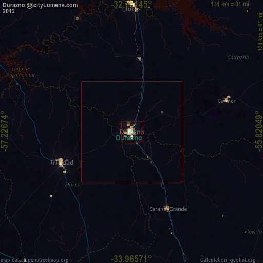
» Earth at Night: Flat Maps 2012, 2016