Trinidad night lights from space
Night Light of Trinidad (Flores) from space (Uruguay) Src. Average luminocity for 10x10km area is 10.8864% and for 50x50km: 0.5165%.
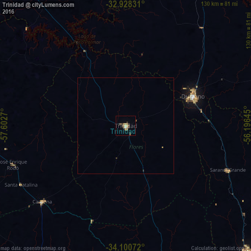
Analysis of Trinidad night lights 2016
Square area 10x10 km:
 0.18%
0.18%90-99
0.92%80-89
2.2%70-79
0.92%60-69
3.85%50-59
1.1%40-49
0.73%30-39
4.76%20-29
0.37%10-19
0%0-9
84.98%Square area 50x50 km:
0.01%90-99
0.04%80-89
0.1%70-79
0.05%60-69
0.15%50-59
0.09%40-49
0.03%30-39
0.24%20-29
0.01%10-19
0%0-9
99.28%Clear (daylight) street map image can be seen on geolist.org.
Map coordinates:
32° 55' 41.9" South, 57° 36' 9.7" West
33° 30' 59.4" South, 56° 53' 58.5" West
34° 6' 2.6" South, 56° 11' 47.2" West
Some cities around Trinidad sort by population:
• San José de Mayo
92.9 km =57.7 mi,  169°
169°
• Durazno
38 km =23.6 mi,  66°
66°
• Florida
90.3 km =56.1 mi,  135°
135°
• Paso de los Toros
85.6 km =53.2 mi,  24°
24°
• Nueva Helvecia
92.4 km =57.4 mi,  199°
199°
• Rosario
98.2 km =61 mi,  205°
205°
• Sarandí Grande
57.7 km =35.9 mi,  114°
114°
• Tarariras
106.5 km =66.2 mi,  218°
218°
3439748 (p: 21,429)
Sources (retrieved 2019-11-25):
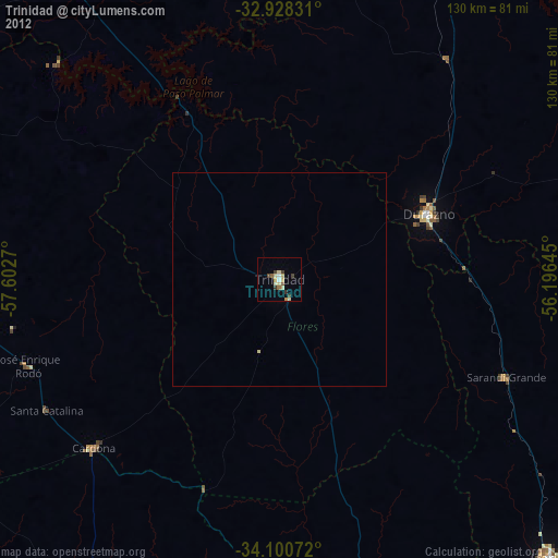
» Earth at Night: Flat Maps 2012, 2016