Guichón night lights from space
Night Light of Guichón (Paysandú) from space (Uruguay) Src. Average luminocity for 10x10km area is 4.8993% and for 50x50km: 0.3532%.
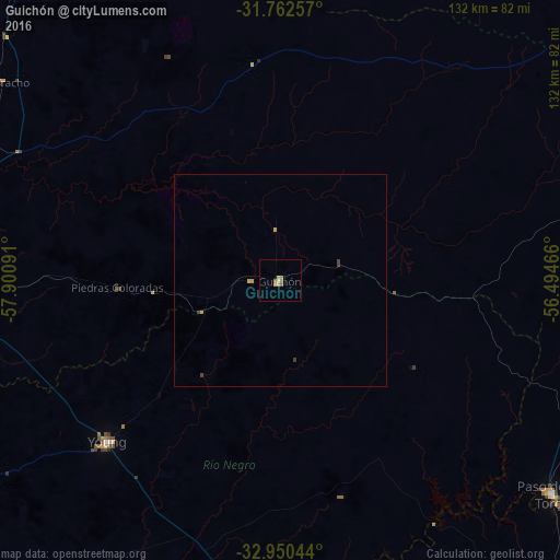
Analysis of Guichón night lights 2016
Square area 10x10 km:
 0%
0%90-99
0%80-89
1.65%70-79
1.28%60-69
1.1%50-59
1.83%40-49
0%30-39
0%20-29
0%10-19
0%0-9
94.14%Square area 50x50 km:
0%90-99
0%80-89
0.12%70-79
0.12%60-69
0.04%50-59
0.07%40-49
0.05%30-39
0.09%20-29
0%10-19
0%0-9
99.5%Clear (daylight) street map image can be seen on geolist.org.
Map coordinates:
31° 45' 45.3" South, 57° 54' 3.3" West
32° 21' 30.5" South, 57° 11' 52" West
32° 57' 1.6" South, 56° 29' 40.8" West
Some cities around Guichón sort by population:
• Salto
130.5 km =81.1 mi,  326°
326°
• Paysandú
83.1 km =51.6 mi,  273°
273°
• Concepción del Uruguay, AR
98.1 km =61 mi,  261°
261°
• Mercedes
126.2 km =78.4 mi,  218°
218°
• Durazno
129.9 km =80.7 mi,  151°
151°
• Young
55.2 km =34.3 mi,  226°
226°
• Paso de los Toros
81.7 km =50.8 mi,  128°
128°
• Villa Elisa, AR
115.2 km =71.6 mi,  280°
280°
3442398 (p: 5,051)
Sources (retrieved 2019-11-25):
» Earth at Night: Flat Maps 2012, 2016