Concepción del Uruguay night lights from space
Night Light of Concepción del Uruguay (Entre Rios) from space (Argentina) Src. Average luminocity for 10x10km area is 35.5275% and for 50x50km: 5.3191%.
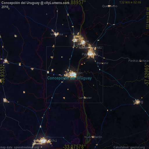
Analysis of Concepción del Uruguay night lights 2016
Square area 10x10 km:
 7.14%
7.14%90-99
8.42%80-89
4.21%70-79
4.21%60-69
3.48%50-59
4.21%40-49
2.2%30-39
2.01%20-29
5.13%10-19
33.52%0-9
25.46%Square area 50x50 km:
0.42%90-99
0.62%80-89
0.62%70-79
1.02%60-69
0.72%50-59
1.11%40-49
0.46%30-39
0.73%20-29
1.04%10-19
4.92%0-9
88.35%Clear (daylight) street map image can be seen on geolist.org.
Map coordinates:
31° 53' 22.5" South, 58° 56' 7.1" West
32° 29' 4.7" South, 58° 13' 55.8" West
33° 4' 32.8" South, 57° 31' 44.6" West
Some cities around Concepción del Uruguay sort by population:
• Gualeguaychú
64.1 km =39.8 mi,  204°
204°
• Paysandú, UY
23.4 km =14.5 mi,  37°
37°
• Mercedes, UY
87.4 km =54.3 mi,  167°
167°
• Fray Bentos, UY
70.6 km =43.9 mi,  185°
185°
• Young, UY
61.5 km =38.2 mi,  112°
112°
• Rosario del Tala
88.1 km =54.7 mi,  283°
283°
• Villa Elisa
39.1 km =24.3 mi,  336°
336°
• Urdinarrain
65.8 km =40.9 mi,  250°
250°
3435264 (p: 67,895)
Sources (retrieved 2019-11-25):
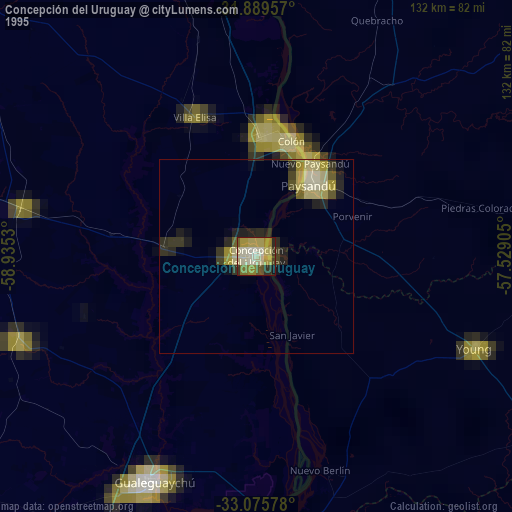
» NASA, Earths city lights 1995
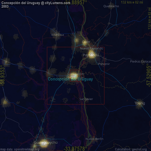
» NASA city lights 2003
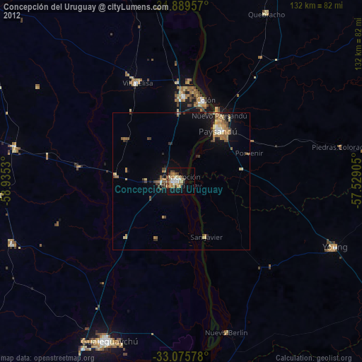
» Earth at Night: Flat Maps 2012, 2016