Mercedes night lights from space
Night Light of Mercedes (Soriano) from space (Uruguay) Src. Average luminocity for 10x10km area is 23.0559% and for 50x50km: 2.0624%.

Analysis of Mercedes night lights 2016
Square area 10x10 km:
 1.92%
1.92%90-99
2.27%80-89
3.85%70-79
4.9%60-69
4.02%50-59
2.45%40-49
0.7%30-39
5.24%20-29
3.32%10-19
17.31%0-9
54.02%Square area 50x50 km:
0.08%90-99
0.09%80-89
0.35%70-79
0.52%60-69
0.33%50-59
0.35%40-49
0.14%30-39
0.4%20-29
0.21%10-19
1.2%0-9
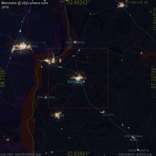
96.32%Clear (daylight) street map image can be seen on geolist.org.
Map coordinates:
32° 39' 44.7" South, 58° 44' 1" West
33° 15' 8.6" South, 58° 1' 49.7" West
33° 50' 18.3" South, 57° 19' 38.5" West
Some cities around Mercedes sort by population:
• Gualeguaychú, AR
52.8 km =32.8 mi,  300°
300°
• Concepción del Uruguay, AR
87.4 km =54.3 mi,  347°
347°
• Fray Bentos
30.1 km =18.7 mi, 300°
• Carmelo
86.4 km =53.7 mi,  195°
195°
• Young
72.2 km =44.9 mi,  31°
31°
• Dolores
35.4 km =22 mi,  209°
209°
• Nueva Palmira
77.3 km =48 mi, 207°
• Larroque, AR
93.5 km =58.1 mi,  284°
284°
3441684 (p: 42,359)
Sources (retrieved 2019-11-25):
» Earth at Night: Flat Maps 2012, 2016