Woodstock night lights from space
Night Light of Woodstock (Illinois) from space (United States) Src. Average luminocity for 10x10km area is 28.5394% and for 50x50km: 24.5202%.
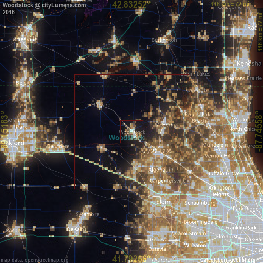
Analysis of Woodstock night lights 2016
Square area 10x10 km:
 2.42%
2.42%90-99
3.18%80-89
3.48%70-79
2.12%60-69
4.55%50-59
5.76%40-49
7.88%30-39
3.79%20-29
6.82%10-19
33.64%0-9
26.36%Square area 50x50 km:
1.35%90-99
1.97%80-89
3.69%70-79
3.55%60-69
4.97%50-59
6.14%40-49
7.04%30-39
4.9%20-29
6.72%10-19
9.71%0-9
49.97%Clear (daylight) street map image can be seen on geolist.org.
Map coordinates:
42° 49' 57.1" North, 89° 9' 6.6" West
42° 18' 53.1" North, 88° 26' 55.3" West
41° 47' 33.6" North, 87° 44' 44.1" West
Some cities around Woodstock sort by population:
• Crystal Lake
13.6 km =8.5 mi,  126°
126°
• Lake in the Hills
17.7 km =11 mi,  146°
146°
• McHenry
15.1 km =9.4 mi,  82°
82°
• Huntley
16.4 km =10.2 mi,  174°
174°
• Harvard
18.1 km =11.2 mi,  311°
311°
• Marengo
15.1 km =9.4 mi,  240°
240°
• Johnsburg
18.5 km =11.5 mi,  66°
66°
• Lakemoor
20.6 km =12.8 mi,  85°
85°
4917123 (p: 25,189)
Sources (retrieved 2019-11-25):
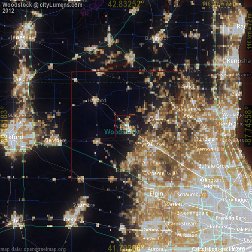
» Earth at Night: Flat Maps 2012, 2016